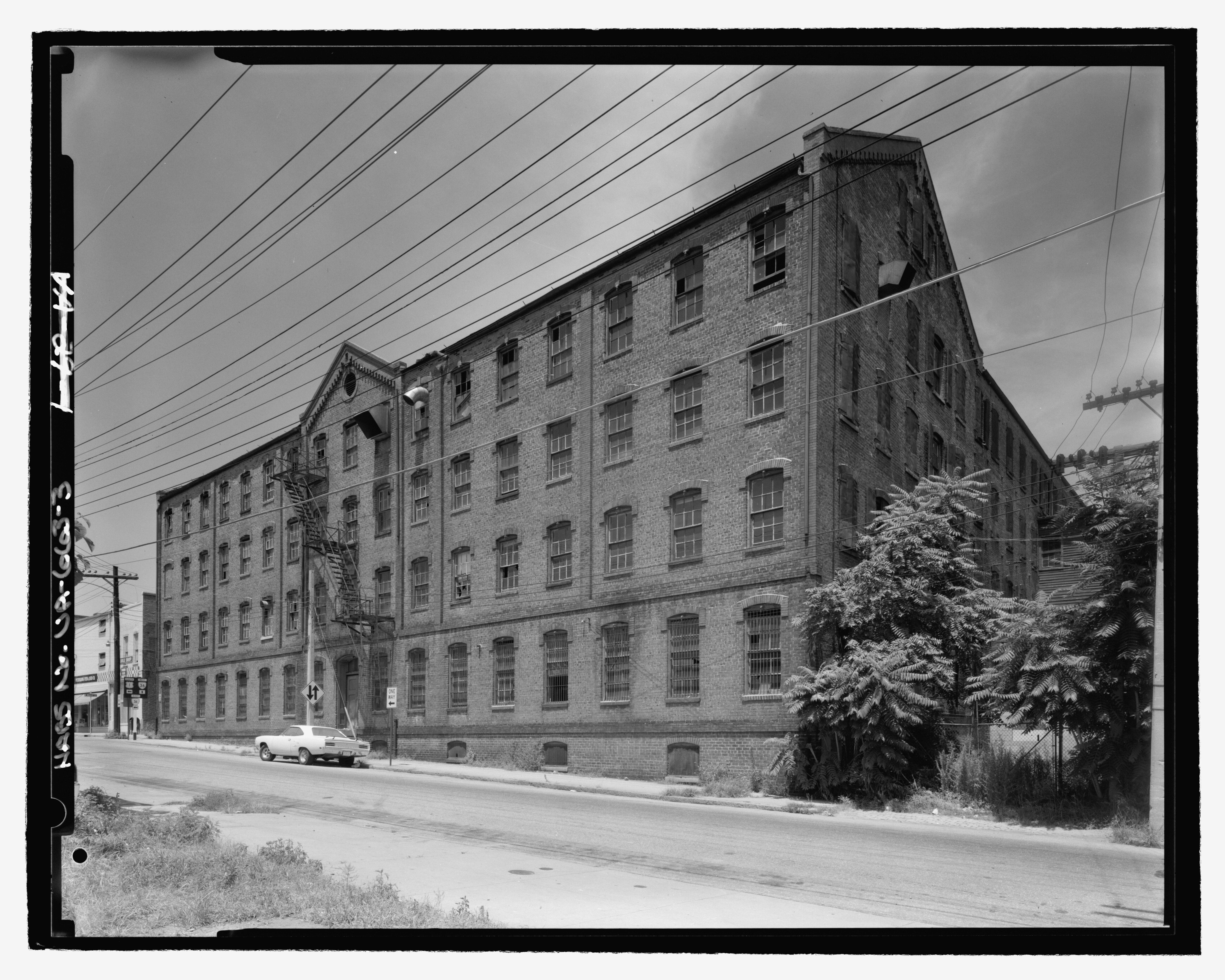
File:David Dunlop Tobacco Factory, 45-127 Old Street, Petersburg, Petersburg, VA HABS VA,27-PET,35-3.tif
Jump to navigation
Jump to search

Size of this JPG preview of this TIF file: 749 × 600 pixels. Other resolutions: 300 × 240 pixels | 600 × 480 pixels | 960 × 768 pixels | 1,279 × 1,024 pixels | 2,558 × 2,048 pixels | 5,454 × 4,366 pixels.
Original file (5,454 × 4,366 pixels, file size: 22.71 MB, MIME type: image/tiff)
Captions
Captions
Add a one-line explanation of what this file represents
Summary[edit]
| - David Dunlop Tobacco Factory, 45-127 Old Street, Petersburg, Petersburg, VA | ||||
|---|---|---|---|---|
| Title |
- David Dunlop Tobacco Factory, 45-127 Old Street, Petersburg, Petersburg, VA |
|||
| Description |
Chappell, William J; Baldwin, Jennifer L, transmitter; Jackson, Donald C, historian |
|||
| Depicted place | Virginia; Petersburg; Petersburg | |||
| Date | Documentation compiled after 1933 | |||
| Dimensions | height: 4 in (10.1 cm); width: 5 in (12.7 cm) | |||
| Current location |
Library of Congress Prints and Photographs Division Washington, D.C. 20540 USA http://hdl.loc.gov/loc.pnp/pp.print |
|||
| Accession number |
HABS VA,27-PET,35-3 |
|||
| Credit line |
|
|||
| Notes |
|
|||
| Source | https://www.loc.gov/pictures/item/va0351.photos.214541p | |||
| Permission (Reusing this file) |
|
|||

| Object location | | View this and other nearby images on: OpenStreetMap |
|---|
File history
Click on a date/time to view the file as it appeared at that time.
| Date/Time | Thumbnail | Dimensions | User | Comment | |
|---|---|---|---|---|---|
| current | 05:50, 4 August 2014 |  | 5,454 × 4,366 (22.71 MB) | Fæ (talk | contribs) | GWToolset: Creating mediafile for Fæ. HABS 2014-08-02 (3401:3600) |
You cannot overwrite this file.
File usage on Commons
The following 2 pages use this file: