File:Detail of pin-connected bases at western abutment. - Strawberry Mansion Bridge, Spanning Schuylkill River at Strawberry Drive, Philadelphia, Philadelphia County, PA HAER PA,51-PHILA,729-5.tif
Jump to navigation
Jump to search

Size of this JPG preview of this TIF file: 800 × 576 pixels. Other resolutions: 320 × 230 pixels | 640 × 460 pixels | 1,024 × 737 pixels | 1,280 × 921 pixels | 2,560 × 1,842 pixels | 5,000 × 3,597 pixels.
Original file (5,000 × 3,597 pixels, file size: 17.15 MB, MIME type: image/tiff)
Captions
Captions
Add a one-line explanation of what this file represents
Summary[edit]
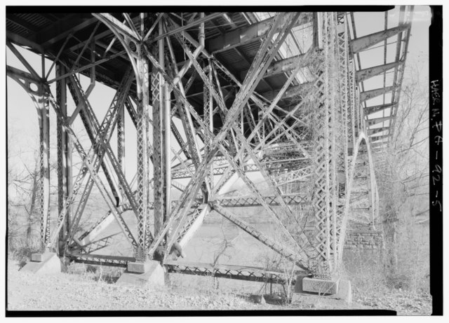
| Detail of pin-connected bases at western abutment. - Strawberry Mansion Bridge, Spanning Schuylkill River at Strawberry Drive, Philadelphia, Philadelphia County, PA | ||||
|---|---|---|---|---|
| Photographer |
Lowe, Jet |
|||
| Title |
Detail of pin-connected bases at western abutment. - Strawberry Mansion Bridge, Spanning Schuylkill River at Strawberry Drive, Philadelphia, Philadelphia County, PA |
|||
| Description |
Fairmount Park Transportation Company; DeLony, Eric N, project manager; Pennsylvania Department of Transportation, sponsor; Pennsylvania Historical and Museum Commission, sponsor; Ross, Helen P, historian; Spivey, Justin M, historian; Lowe, Jet, photographer |
|||
| Depicted place | Pennsylvania; Philadelphia County; Philadelphia | |||
| Date | 1999 | |||
| Dimensions | 5 x 7 in. | |||
| Current location |
Library of Congress Prints and Photographs Division Washington, D.C. 20540 USA http://hdl.loc.gov/loc.pnp/pp.print |
|||
| Accession number |
HAER PA,51-PHILA,729-5 |
|||
| Credit line |
|
|||
| Notes |
|
|||
| References |
|
|||
| Source | https://www.loc.gov/pictures/item/pa3696.photos.361863p | |||
| Permission (Reusing this file) |
|
|||

| Object location | | View this and other nearby images on: OpenStreetMap |
|---|
File history
Click on a date/time to view the file as it appeared at that time.
| Date/Time | Thumbnail | Dimensions | User | Comment | |
|---|---|---|---|---|---|
| current | 05:49, 1 August 2014 |  | 5,000 × 3,597 (17.15 MB) | Fæ (talk | contribs) | GWToolset: Creating mediafile for Fæ. HABS 31 July 2014 (3000:3200) |
You cannot overwrite this file.
File usage on Commons
The following page uses this file: