File:Detailed map of Ohio in 1895.jpg
Jump to navigation
Jump to search
Size of this preview: 800 × 522 pixels. Other resolutions: 320 × 209 pixels | 640 × 418 pixels | 1,024 × 668 pixels | 1,280 × 835 pixels | 2,593 × 1,692 pixels.
Original file (2,593 × 1,692 pixels, file size: 1.72 MB, MIME type: image/jpeg)
Captions
Captions
Add a one-line explanation of what this file represents
| Description |
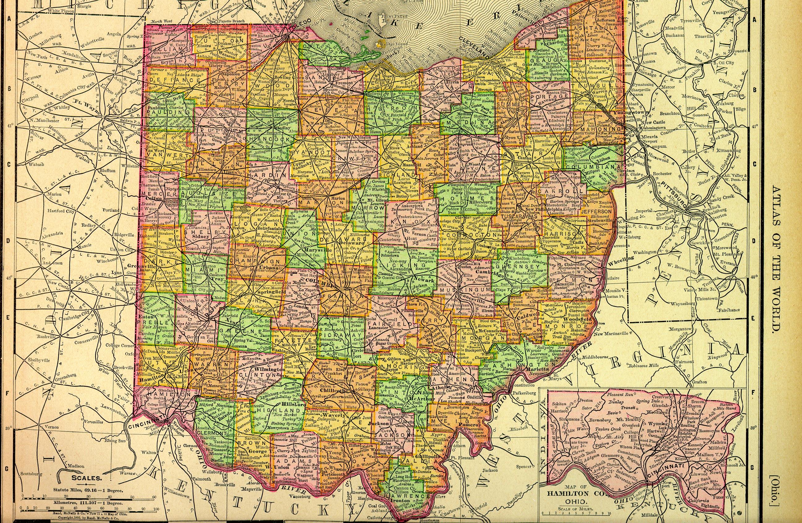
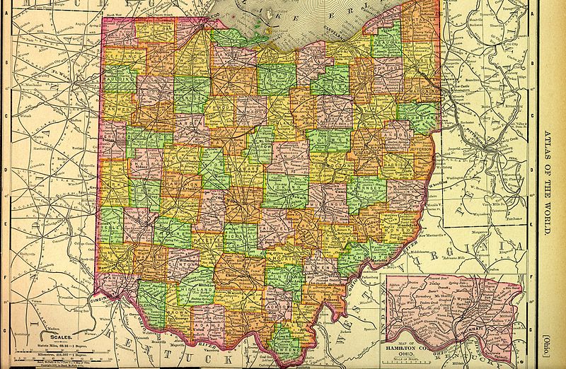
English: Map of Ohio in 1895, showing counties, communities, railroads, and other features. |
||||
| Date | |||||
| Source | http://www.heritagepursuit.com/oh_1895OHIO.jpg | ||||
| Author | Rand McNally. Inscribed "Copyright, 1895, by Rand, McNally & Co." at bottom left | ||||
| Permission (Reusing this file) |
|
||||
File history
Click on a date/time to view the file as it appeared at that time.
| Date/Time | Thumbnail | Dimensions | User | Comment | |
|---|---|---|---|---|---|
| current | 16:36, 14 March 2013 | | 2,593 × 1,692 (1.72 MB) | Nyttend (talk | contribs) | {{Information |Description={{en|Map of Ohio in 1895, showing counties, communities, railroads, and other features.}} |Source=http://www.heritagepursuit.com/oh_1895OHIO.jpg |Date=1895 |Author=Rand McNally. Inscribed "Copyright, 1895, by Rand, McNally &... |
You cannot overwrite this file.
File usage on Commons
There are no pages that use this file.