File:EAST WING, LOOKING ALONG WEST SIDE - Fort Sam Houston, San Antonio Quartermaster Depot, Northwest corner of New Braunfels Avenue and Grayson Street, San Antonio, Bexar County, HABS TEX,15-SANT,39A-8.tif
Jump to navigation
Jump to search
Size of this JPG preview of this TIF file: 746 × 599 pixels. Other resolutions: 299 × 240 pixels | 598 × 480 pixels | 956 × 768 pixels | 1,275 × 1,024 pixels | 2,549 × 2,048 pixels | 5,000 × 4,017 pixels.
Original file (5,000 × 4,017 pixels, file size: 19.16 MB, MIME type: image/tiff)
Captions
Captions
Add a one-line explanation of what this file represents
Summary[edit]
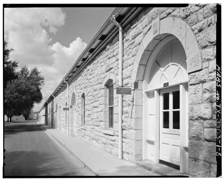
| EAST WING, LOOKING ALONG WEST SIDE - Fort Sam Houston, San Antonio Quartermaster Depot, Northwest corner of New Braunfels Avenue and Grayson Street, San Antonio, Bexar County, TX | ||||
|---|---|---|---|---|
| Title |
EAST WING, LOOKING ALONG WEST SIDE - Fort Sam Houston, San Antonio Quartermaster Depot, Northwest corner of New Braunfels Avenue and Grayson Street, San Antonio, Bexar County, TX |
|||
| Depicted place | Texas; Bexar County; San Antonio | |||
| Date | Documentation compiled after 1933 | |||
| Dimensions | 4 x 5 in. | |||
| Current location |
Library of Congress Prints and Photographs Division Washington, D.C. 20540 USA http://hdl.loc.gov/loc.pnp/pp.print |
|||
| Accession number |
HABS TEX,15-SANT,39A-8 |
|||
| Credit line |
|
|||
| Notes |
|
|||
| References |
|
|||
| Source | https://www.loc.gov/pictures/item/tx0524.photos.155062p | |||
| Permission (Reusing this file) |
|
|||

File history
Click on a date/time to view the file as it appeared at that time.
| Date/Time | Thumbnail | Dimensions | User | Comment | |
|---|---|---|---|---|---|
| current | 07:20, 2 August 2014 |  | 5,000 × 4,017 (19.16 MB) | Fæ (talk | contribs) | GWToolset: Creating mediafile for Fæ. HABS 2014-08-01 (3201:3400) |
You cannot overwrite this file.
File usage on Commons
The following page uses this file: