File:ELEVATED VIEW OF EAST PORTAL WITHOUT SCALE. - Pine Bluff Bridge, Spanning Big Walnut Creek, CR 950N, Bainbridge, Putnam County, IN HAER IN-103-9.tif
Jump to navigation
Jump to search
Size of this JPG preview of this TIF file: 800 × 572 pixels. Other resolutions: 320 × 229 pixels | 640 × 458 pixels | 1,024 × 733 pixels | 1,280 × 916 pixels | 2,560 × 1,832 pixels | 5,097 × 3,647 pixels.
Original file (5,097 × 3,647 pixels, file size: 17.73 MB, MIME type: image/tiff)
Captions
Captions
Add a one-line explanation of what this file represents
| Camera location | | View this and other nearby images on: OpenStreetMap |
|---|
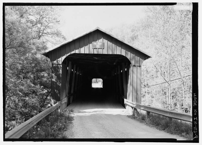
| ELEVATED VIEW OF EAST PORTAL WITHOUT SCALE. - Pine Bluff Bridge, Spanning Big Walnut Creek, CR 950N, Bainbridge, Putnam County, IN | ||||
|---|---|---|---|---|
| Photographer |
Rosenthal, James W. |
|||
| Title |
ELEVATED VIEW OF EAST PORTAL WITHOUT SCALE. - Pine Bluff Bridge, Spanning Big Walnut Creek, CR 950N, Bainbridge, Putnam County, IN |
|||
| Description |
Britton, Joseph A; Howe, William; Wilkerson, John; Coeliver, William D; Walls, R H; Hendrick and Williams; Christianson, Justine, transmitter; Marston, Christopher, project manager; Gasparini, Dario, faculty sponsor; Federal Highway Administration, sponsor |
|||
| Depicted place | Indiana; Putnam County; Bainbridge | |||
| Date | Documentation compiled after 1968; 2004 | |||
| Dimensions | 5 x 7 in. | |||
| Current location |
Library of Congress Prints and Photographs Division Washington, D.C. 20540 USA http://hdl.loc.gov/loc.pnp/pp.print |
|||
| Accession number |
HAER IN-103-9 |
|||
| Credit line |
|
|||
| Notes |
|
|||
| Source | https://www.loc.gov/pictures/item/in0454.photos.195776p | |||
| Permission (Reusing this file) |
|
|||

| Object location | | View this and other nearby images on: OpenStreetMap |
|---|
File history
Click on a date/time to view the file as it appeared at that time.
| Date/Time | Thumbnail | Dimensions | User | Comment | |
|---|---|---|---|---|---|
| current | 22:49, 18 July 2014 |  | 5,097 × 3,647 (17.73 MB) | Fæ (talk | contribs) | GWToolset: Creating mediafile for Fæ. HABS 16 July 2014 (1201:1400) |
You cannot overwrite this file.
File usage on Commons
The following page uses this file: