File:EXTERIOR SOUTHWEST VIEW (1991). - Wright-Patterson Air Force Base, Area B, Building 16, Wright Field Laboratory, On D Street from Third to Fifth Streets, Dayton, Montgomery HAER OHIO,29-DAYT.V,1Q-1.tif
Jump to navigation
Jump to search
Size of this JPG preview of this TIF file: 753 × 600 pixels. Other resolutions: 301 × 240 pixels | 603 × 480 pixels | 964 × 768 pixels | 1,280 × 1,020 pixels | 2,560 × 2,039 pixels | 5,000 × 3,983 pixels.
Original file (5,000 × 3,983 pixels, file size: 19 MB, MIME type: image/tiff)
Captions
Captions
Add a one-line explanation of what this file represents
Summary[edit]
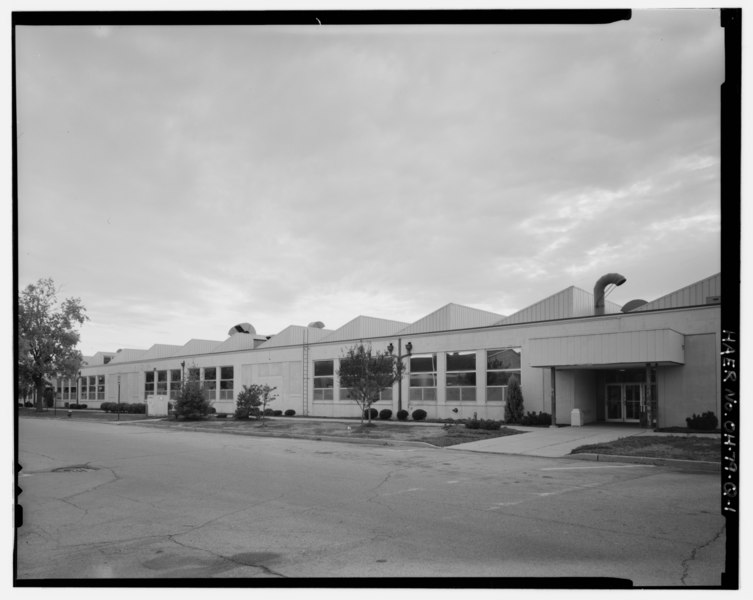
| EXTERIOR SOUTHWEST VIEW (1991). - Wright-Patterson Air Force Base, Area B, Building 16, Wright Field Laboratory, On D Street from Third to Fifth Streets, Dayton, Montgomery County, OH | ||||
|---|---|---|---|---|
| Photographer |
Diesing, David H. Related names:
|
|||
| Title |
EXTERIOR SOUTHWEST VIEW (1991). - Wright-Patterson Air Force Base, Area B, Building 16, Wright Field Laboratory, On D Street from Third to Fifth Streets, Dayton, Montgomery County, OH |
|||
| Depicted place | Ohio; Montgomery County; Dayton | |||
| Date | Documentation compiled after 1968 | |||
| Dimensions | 4 x 5 in. | |||
| Current location |
Library of Congress Prints and Photographs Division Washington, D.C. 20540 USA http://hdl.loc.gov/loc.pnp/pp.print |
|||
| Accession number |
HAER OHIO,29-DAYT.V,1Q-1 |
|||
| Credit line |
|
|||
| Notes |
|
|||
| Source | https://www.loc.gov/pictures/item/oh1666.photos.352559p | |||
| Permission (Reusing this file) |
|
|||

| Object location | | View this and other nearby images on: OpenStreetMap |
|---|
File history
Click on a date/time to view the file as it appeared at that time.
| Date/Time | Thumbnail | Dimensions | User | Comment | |
|---|---|---|---|---|---|
| current | 16:08, 30 July 2014 |  | 5,000 × 3,983 (19 MB) | Fæ (talk | contribs) | GWToolset: Creating mediafile for Fæ. HABS 30 July 2014 (2601:2900) |
You cannot overwrite this file.
File usage on Commons
The following page uses this file: