File:EXTERIOR VIEW OF THE EAST ELEVATION, SOUTHEAST CORNER - Bethel Sanctuary, Inman, McPherson County, KS HABS KANS,57-INMAN.V,1-4.tif
Jump to navigation
Jump to search
Size of this JPG preview of this TIF file: 754 × 600 pixels. Other resolutions: 302 × 240 pixels | 604 × 480 pixels | 966 × 768 pixels | 1,280 × 1,018 pixels | 2,560 × 2,036 pixels | 5,000 × 3,977 pixels.
Original file (5,000 × 3,977 pixels, file size: 18.97 MB, MIME type: image/tiff)
Captions
Captions
Add a one-line explanation of what this file represents
Summary[edit]
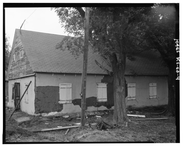
| EXTERIOR VIEW OF THE EAST ELEVATION, SOUTHEAST CORNER - Bethel Sanctuary, Inman, McPherson County, KS | ||||
|---|---|---|---|---|
| Title |
EXTERIOR VIEW OF THE EAST ELEVATION, SOUTHEAST CORNER - Bethel Sanctuary, Inman, McPherson County, KS |
|||
| Description |
Newton, Barry, faculty sponsor; Brunner, Kurt A, field team; Schmitz, Edward T, field team; Janzen, John M, field team; University of Kansas, School of Architecture and Urban Design, sponsor; Kauffman Museum, sponsor; Cary, Brian, transmitter; Haase-Divine, David W, delineator; Harrington, Steven W, delineator; Winslow, Keri J, delineator; Zabilka, Eric J, photographer; Zabilka, Eric J, delineator |
|||
| Depicted place | Kansas; McPherson County; Inman | |||
| Date | Documentation compiled after 1933 | |||
| Dimensions | 4 x 5 in. | |||
| Current location |
Library of Congress Prints and Photographs Division Washington, D.C. 20540 USA http://hdl.loc.gov/loc.pnp/pp.print |
|||
| Accession number |
HABS KANS,57-INMAN.V,1-4 |
|||
| Credit line |
|
|||
| Notes |
|
|||
| Source | https://www.loc.gov/pictures/item/ks0153.photos.043210p | |||
| Permission (Reusing this file) |
|
|||

| Object location | | View this and other nearby images on: OpenStreetMap |
|---|
File history
Click on a date/time to view the file as it appeared at that time.
| Date/Time | Thumbnail | Dimensions | User | Comment | |
|---|---|---|---|---|---|
| current | 08:31, 19 July 2014 |  | 5,000 × 3,977 (18.97 MB) | Fæ (talk | contribs) | GWToolset: Creating mediafile for Fæ. HABS 16 July 2014 (1201:1400) |
You cannot overwrite this file.
File usage on Commons
The following page uses this file: