File:East Timor location map 2003-2015.svg
Jump to navigation
Jump to search

Size of this PNG preview of this SVG file: 800 × 489 pixels. Other resolutions: 320 × 196 pixels | 640 × 391 pixels | 1,024 × 626 pixels | 1,280 × 783 pixels | 2,560 × 1,565 pixels | 1,701 × 1,040 pixels.
Original file (SVG file, nominally 1,701 × 1,040 pixels, file size: 201 KB)
Captions
Captions
Add a one-line explanation of what this file represents
Summary[edit]
| Description |
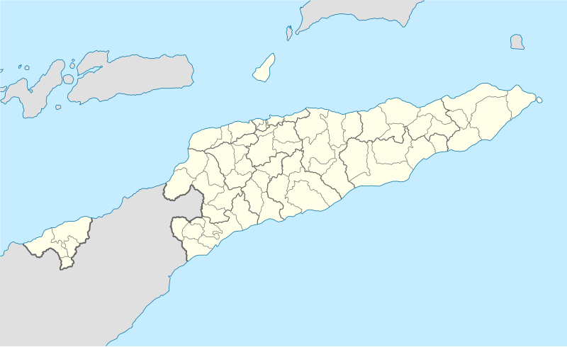
Deutsch: Positionskarte von Osttimor, Grenzen von 2003–2015
Quadratische Plattkarte. Geographische Begrenzung der Karte:
English: Location map of East Timor
Equirectangular projection. Geographic limits of the map:
|
||
| Date | |||
| Source |
Own work using
|
||
| Author | NordNordWest | ||
| Other versions |
East Timor relief location map.jpg:  Equivalent physical map Equivalent physical map |
||
| SVG development |
|

Licensing[edit]
I, the copyright holder of this work, hereby publish it under the following licenses:

|
Permission is granted to copy, distribute and/or modify this document under the terms of the GNU Free Documentation License, Version 1.2 or any later version published by the Free Software Foundation; with no Invariant Sections, no Front-Cover Texts, and no Back-Cover Texts. A copy of the license is included in the section entitled GNU Free Documentation License. |
This file is licensed under the Creative Commons Attribution 3.0 Unported license.
- You are free:
- to share – to copy, distribute and transmit the work
- to remix – to adapt the work
- Under the following conditions:
- attribution – You must give appropriate credit, provide a link to the license, and indicate if changes were made. You may do so in any reasonable manner, but not in any way that suggests the licensor endorses you or your use.
You may select the license of your choice.
File history
Click on a date/time to view the file as it appeared at that time.
| Date/Time | Thumbnail | Dimensions | User | Comment | |
|---|---|---|---|---|---|
| current | 16:17, 27 May 2009 | | 1,701 × 1,040 (201 KB) | NordNordWest (talk | contribs) | completed |
| 16:19, 25 May 2009 |  | 1,701 × 1,040 (126 KB) | NordNordWest (talk | contribs) | c | |
| 16:11, 25 May 2009 |  | 1,701 × 1,040 (126 KB) | NordNordWest (talk | contribs) | {{Information |Description= {{de|Positionskarte von Osttimor}} Quadratische Plattkarte. Geographische Begrenzung der Karte: * N: 7.8° S * S: 10.0° S * W: 123.9° O * O: 127.5° O {{en|Location map of East Timor}} Equi |
You cannot overwrite this file.
File usage on Commons
The following 17 pages use this file:
- Timor Lorosa'e
- User:NordNordWest/Gallery/Location maps
- Commons:Graphic Lab/Map workshop/Archive/2016
- File:ARKTL radio stations.png
- File:Central Timor location map 2003-2015.png
- File:East Timor - Dili.png
- File:East Timor Bobonaro locator map 2003-2015.svg
- File:East Timor location map.svg (file redirect)
- File:East Timor relief location map.jpg
- File:Osttimor Sights.png
- File:Osttimor Staedte.png
- File:TL population 2004-2010.png
- File:Tour de Timor 2009.png
- File:Tour de Timor 2010.png
- File:Tour de Timor 2011.png
- File:Tour de Timor 2012.png
- Category:East Timor
File usage on other wikis
The following other wikis use this file:
- Usage on bn.wikipedia.org
- Usage on de.wikipedia.org
- Usage on es.wikipedia.org
- Usage on fr.wikinews.org
- Usage on ia.wikipedia.org
- Usage on incubator.wikimedia.org
- Usage on pt.wikipedia.org
- Usage on www.wikidata.org