File:European Union United States Locator.svg
Jump to navigation
Jump to search

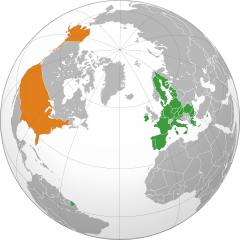
Size of this PNG preview of this SVG file: 550 × 550 pixels. Other resolutions: 240 × 240 pixels | 480 × 480 pixels | 768 × 768 pixels | 1,024 × 1,024 pixels | 2,048 × 2,048 pixels.
Original file (SVG file, nominally 550 × 550 pixels, file size: 678 KB)
Captions
Captions
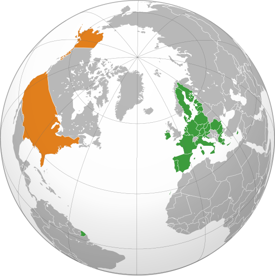
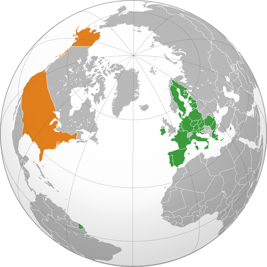
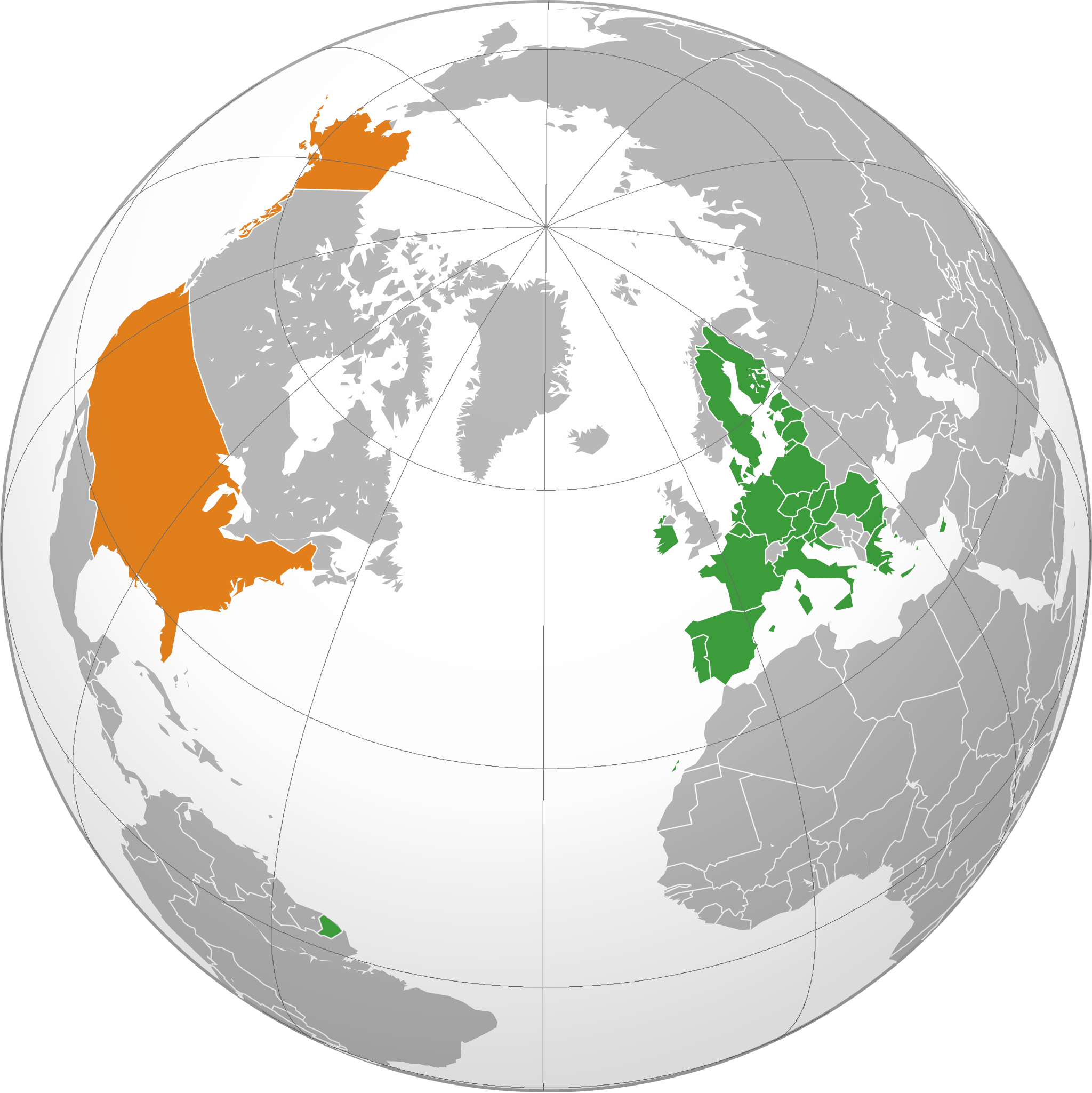
Map of the globe, highlighting the United States of America and the European Union.
Summary
[edit]
| Description | The EU and the US |
| Date | |
| Source | Own work |
| Author | Ssolbergj |
| SVG development |
Licensing
[edit]
| I, the copyright holder of this work, release this work into the public domain. This applies worldwide. In some countries this may not be legally possible; if so: I grant anyone the right to use this work for any purpose, without any conditions, unless such conditions are required by law. |
File history
Click on a date/time to view the file as it appeared at that time.
| Date/Time | Thumbnail | Dimensions | User | Comment | |
|---|---|---|---|---|---|
| current | 23:10, 31 January 2022 | | 550 × 550 (678 KB) | TorreAzzurro (talk | contribs) | Added Cyprus and French Guiana |
| 23:11, 28 February 2020 |  | 550 × 550 (676 KB) | Hogweard (talk | contribs) | Update | |
| 08:56, 17 October 2019 |  | 550 × 550 (677 KB) | Ssolbergj (talk | contribs) | c | |
| 08:55, 17 October 2019 |  | 550 × 550 (677 KB) | Ssolbergj (talk | contribs) | c | |
| 08:45, 2 July 2013 |  | 638 × 328 (1.49 MB) | Treehill (talk | contribs) | + croatia (problem on the first upload) | |
| 08:42, 2 July 2013 |  | 638 × 328 (1.49 MB) | Treehill (talk | contribs) | + croatia | |
| 15:46, 20 July 2010 |  | 638 × 328 (1.8 MB) | Ssolbergj (talk | contribs) | better projection | |
| 00:35, 15 May 2010 |  | 940 × 415 (1.51 MB) | CGN2010 (talk | contribs) | {{Information |Description=European Union - United States locator map |Source={{own}} |Date=2010-05-15 |Author={{own}} |Permission={{PD-self}} |other_versions= }} Category:Bilateral maps of the European Union [[Category:maps of the United Sta | |
| 13:01, 31 May 2008 |  | 999 × 553 (574 KB) | Ssolbergj (talk | contribs) | {{Information |Description= |Source= |Date= |Author= |Permission= |other_versions= }} | |
| 15:17, 5 January 2008 |  | 940 × 477 (1.6 MB) | Ssolbergj (talk | contribs) | {{Information |Description=The EU and the US |Source=self-made |Date=05.01.08 |Author= Ssolbergj |Permission= |other_versions= }} |
You cannot overwrite this file.
File usage on Commons
The following 3 pages use this file:
File usage on other wikis
The following other wikis use this file:
- Usage on ar.wikipedia.org
- Usage on bg.wikipedia.org
- Usage on ca.wikipedia.org
- Usage on cs.wikipedia.org
- Usage on cy.wikipedia.org
- Usage on da.wikipedia.org
- Usage on de.wikipedia.org
- Usage on en.wikipedia.org
- Usage on eo.wikiquote.org
- Usage on es.wikipedia.org
- Usage on eu.wikipedia.org
- Usage on fa.wikipedia.org
- Usage on fi.wikipedia.org
- Usage on fr.wikipedia.org
- Usage on gl.wikipedia.org
- Usage on hr.wikipedia.org
- Usage on hy.wikipedia.org
- Usage on id.wikipedia.org
- Usage on it.wikipedia.org
- Usage on ja.wikipedia.org
- Usage on ko.wikipedia.org
- Usage on nl.wikipedia.org
- Usage on no.wikipedia.org
- Usage on pl.wikipedia.org
- Usage on ro.wikipedia.org
- Usage on ru.wikipedia.org
- Usage on sv.wikipedia.org
- Usage on tr.wikipedia.org
- Usage on uk.wikipedia.org
- Usage on vi.wikipedia.org
- Usage on www.wikidata.org
- Usage on zh.wikipedia.org