File:Ewa Plantation Company Industrial Center, Shop and Foundry, Honouliuli Plain, near intersection of Renton Road and Park Row, Ewa, Honolulu County, HI HABS HI-384-B-3.tif
Jump to navigation
Jump to search
Size of this JPG preview of this TIF file: 486 × 599 pixels. Other resolutions: 195 × 240 pixels | 389 × 480 pixels | 623 × 768 pixels | 831 × 1,024 pixels | 1,662 × 2,048 pixels | 4,372 × 5,388 pixels.
Original file (4,372 × 5,388 pixels, file size: 22.47 MB, MIME type: image/tiff)
Captions
Captions
Add a one-line explanation of what this file represents
Summary[edit]
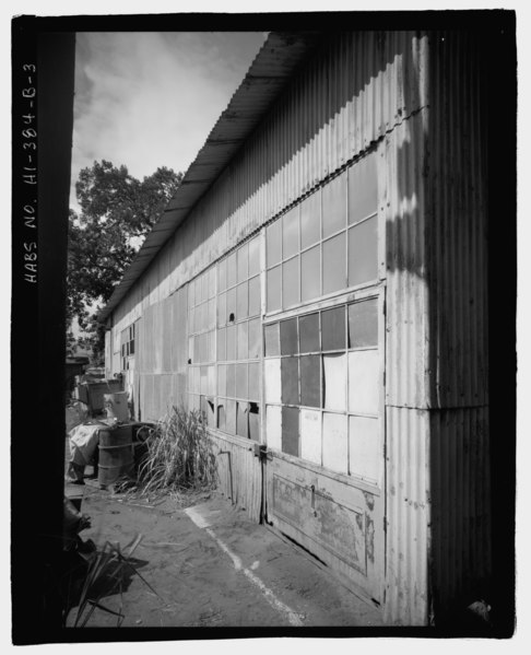
| - Ewa Plantation Company Industrial Center, Shop and Foundry, Honouliuli Plain, near intersection of Renton Road and Park Row, Ewa, Honolulu County, HI | ||||
|---|---|---|---|---|
| Photographer |
Related names:
|
|||
| Title |
- Ewa Plantation Company Industrial Center, Shop and Foundry, Honouliuli Plain, near intersection of Renton Road and Park Row, Ewa, Honolulu County, HI |
|||
| Depicted place | Hawaii; Honolulu County; Ewa | |||
| Date | Documentation compiled after 1933 | |||
| Dimensions | 4 x 5 in. | |||
| Current location |
Library of Congress Prints and Photographs Division Washington, D.C. 20540 USA http://hdl.loc.gov/loc.pnp/pp.print |
|||
| Accession number |
HABS HI-384-B-3 |
|||
| Credit line |
|
|||
| Notes |
|
|||
| Source | https://www.loc.gov/pictures/item/hi0631.photos.209410p | |||
| Permission (Reusing this file) |
|
|||

| Object location | | View this and other nearby images on: OpenStreetMap |
|---|
File history
Click on a date/time to view the file as it appeared at that time.
| Date/Time | Thumbnail | Dimensions | User | Comment | |
|---|---|---|---|---|---|
| current | 12:22, 12 July 2014 |  | 4,372 × 5,388 (22.47 MB) | Fæ (talk | contribs) | GWToolset: Creating mediafile for Fæ. HABS 11 July 2014 (1001:1200) |
You cannot overwrite this file.
File usage on Commons
The following page uses this file: