File:FROM NORTH SIDE OF BRIDGE LOOKING SOUTHWEST SHOWING WEST PORTION OF SUPERSTRUCTURE - VERTICAL VIEW - Ravine Bluffs Development Bridge, Spanning ravine at Sylvan Road, Glencoe, HAER ILL, 16-GLENC, 3-12.tif
Jump to navigation
Jump to search
Size of this JPG preview of this TIF file: 488 × 600 pixels. Other resolutions: 195 × 240 pixels | 391 × 480 pixels | 625 × 768 pixels | 833 × 1,024 pixels | 1,667 × 2,048 pixels | 4,070 × 5,000 pixels.
Original file (4,070 × 5,000 pixels, file size: 19.41 MB, MIME type: image/tiff)
Captions
Captions
Add a one-line explanation of what this file represents
Summary[edit]
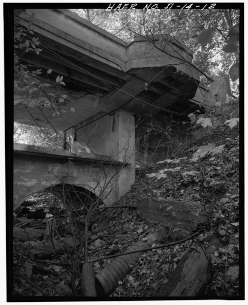
| FROM NORTH SIDE OF BRIDGE LOOKING SOUTHWEST SHOWING WEST PORTION OF SUPERSTRUCTURE - VERTICAL VIEW - Ravine Bluffs Development Bridge, Spanning ravine at Sylvan Road, Glencoe, Cook County, IL | ||||
|---|---|---|---|---|
| Photographer |
Related names:
|
|||
| Title |
FROM NORTH SIDE OF BRIDGE LOOKING SOUTHWEST SHOWING WEST PORTION OF SUPERSTRUCTURE - VERTICAL VIEW - Ravine Bluffs Development Bridge, Spanning ravine at Sylvan Road, Glencoe, Cook County, IL |
|||
| Depicted place | Illinois; Cook County; Glencoe | |||
| Date | Documentation compiled after 1968 | |||
| Dimensions | 4 x 5 in. | |||
| Current location |
Library of Congress Prints and Photographs Division Washington, D.C. 20540 USA http://hdl.loc.gov/loc.pnp/pp.print |
|||
| Accession number |
HAER ILL, 16-GLENC, 3-12 |
|||
| Credit line |
|
|||
| Notes |
|
|||
| Source | https://www.loc.gov/pictures/item/il0461.photos.318485p | |||
| Permission (Reusing this file) |
|
|||

| Object location | | View this and other nearby images on: OpenStreetMap |
|---|
File history
Click on a date/time to view the file as it appeared at that time.
| Date/Time | Thumbnail | Dimensions | User | Comment | |
|---|---|---|---|---|---|
| current | 04:51, 17 July 2014 |  | 4,070 × 5,000 (19.41 MB) | Fæ (talk | contribs) | GWToolset: Creating mediafile for Fæ. HABS 11 July 2014 (1001:1200) |
You cannot overwrite this file.
File usage on Commons
The following page uses this file: