File:Feb. 1969 DETAIL OF OUTER FACE OF IRON WORK ON SOUTH SIDE (FRONT) OF CHURCH. - Central Moravian Church, 406 Main Street, Bethlehem, Northampton County, PA HABS PA,48-BETH,2-8.tif
Jump to navigation
Jump to search

Size of this JPG preview of this TIF file: 800 × 573 pixels. Other resolutions: 320 × 229 pixels | 640 × 458 pixels | 1,024 × 733 pixels | 1,280 × 916 pixels | 2,560 × 1,833 pixels | 5,000 × 3,580 pixels.
Original file (5,000 × 3,580 pixels, file size: 17.07 MB, MIME type: image/tiff)
Captions
Captions
Add a one-line explanation of what this file represents
Summary[edit]
| Feb. 1969 DETAIL OF OUTER FACE OF IRON WORK ON SOUTH SIDE (FRONT) OF CHURCH. - Central Moravian Church, 406 Main Street, Bethlehem, Northampton County, PA | ||||
|---|---|---|---|---|
| Photographer |
Boucher, Jack E. |
|||
| Title |
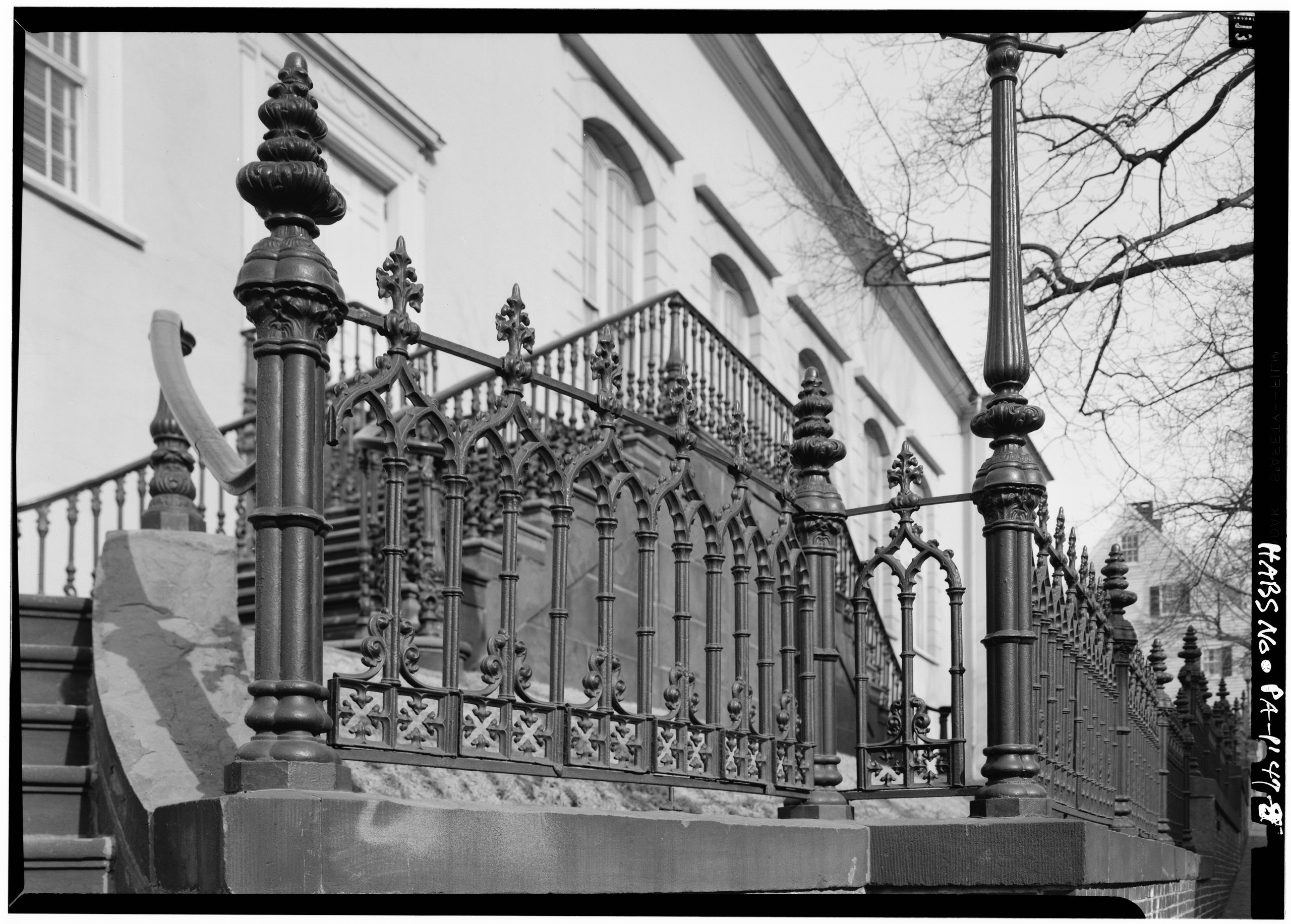
Feb. 1969 DETAIL OF OUTER FACE OF IRON WORK ON SOUTH SIDE (FRONT) OF CHURCH. - Central Moravian Church, 406 Main Street, Bethlehem, Northampton County, PA |
|||
| Depicted place | Pennsylvania; Northampton County; Bethlehem | |||
| Date | Documentation compiled after 1933 | |||
| Dimensions | 5 x 7 in. | |||
| Current location |
Library of Congress Prints and Photographs Division Washington, D.C. 20540 USA http://hdl.loc.gov/loc.pnp/pp.print |
|||
| Accession number |
HABS PA,48-BETH,2-8 |
|||
| Credit line |
|
|||
| Notes |
|
|||
| Source | https://www.loc.gov/pictures/item/pa0641.photos.136309p | |||
| Permission (Reusing this file) |
|
|||

| Object location | | View this and other nearby images on: OpenStreetMap |
|---|
File history
Click on a date/time to view the file as it appeared at that time.
| Date/Time | Thumbnail | Dimensions | User | Comment | |
|---|---|---|---|---|---|
| current | 23:23, 2 August 2014 |  | 5,000 × 3,580 (17.07 MB) | Fæ (talk | contribs) | GWToolset: Creating mediafile for Fæ. HABS 2014-08-01 2601-2900 missing |
You cannot overwrite this file.
File usage on Commons
The following page uses this file: