File:Flag Map of Balkans.png
Jump to navigation
Jump to search

Size of this preview: 542 × 600 pixels. Other resolutions: 217 × 240 pixels | 434 × 480 pixels | 694 × 768 pixels | 1,111 × 1,229 pixels.
Original file (1,111 × 1,229 pixels, file size: 307 KB, MIME type: image/png)
Captions
Captions
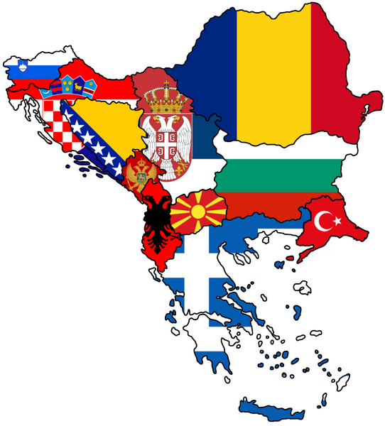
Flag Map of Balkans
Summary
[edit]
| Description |
English: Done the most infamous region of Europe, The Balkans |
| Date | |
| Source | Own work |
| Author | Sgef1211 |
| Camera location | | View this and other nearby images on: OpenStreetMap |
|---|
Licensing
[edit]
I, the copyright holder of this work, hereby publish it under the following license:
This file is licensed under the Creative Commons Attribution-Share Alike 4.0 International license.
- You are free:
- to share – to copy, distribute and transmit the work
- to remix – to adapt the work
- Under the following conditions:
- attribution – You must give appropriate credit, provide a link to the license, and indicate if changes were made. You may do so in any reasonable manner, but not in any way that suggests the licensor endorses you or your use.
- share alike – If you remix, transform, or build upon the material, you must distribute your contributions under the same or compatible license as the original.
| This file was uploaded via Mobile Android App (Commons mobile app) 4.0.5~f03b7dd8d. |
File history
Click on a date/time to view the file as it appeared at that time.
| Date/Time | Thumbnail | Dimensions | User | Comment | |
|---|---|---|---|---|---|
| current | 17:43, 10 May 2024 | | 1,111 × 1,229 (307 KB) | Iktsokh (talk | contribs) | The European part of Turkey (Eastern Thrace) is geographically part of the Balkan Peninsula |
| 19:27, 9 April 2023 |  | 1,111 × 1,229 (351 KB) | Magog the Ogre (talk | contribs) | (SCRIPT): Reverting upload by LTA account User:Mazum24 | |
| 18:36, 31 March 2023 |  | 1,111 × 1,229 (323 KB) | SOVlETZ (talk | contribs) | Reverted to version as of 13:55, 29 March 2023 (UTC) | |
| 17:39, 30 March 2023 |  | 1,111 × 1,229 (251 KB) | SOVlETZ (talk | contribs) | 1980 | |
| 13:55, 29 March 2023 |  | 1,111 × 1,229 (323 KB) | SOVlETZ (talk | contribs) | Kosovo and Turkey | |
| 18:04, 13 March 2023 |  | 1,111 × 1,229 (351 KB) | Sgef1211 (talk | contribs) | Uploaded using Commons Mobile App |
You cannot overwrite this file.
File usage on Commons
The following 4 pages use this file: