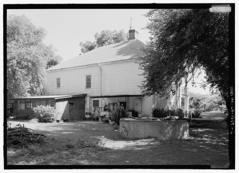
File:General view from the south looking to southwest (rear) elevation; view includes cistern - Roubieu-Jones House, 374 Louisiana State Highway 484, Natchez, Natchitoches Parish, LA HABS LA-1298-6.tif
Jump to navigation
Jump to search
Size of this JPG preview of this TIF file: 800 × 578 pixels. Other resolutions: 320 × 231 pixels | 640 × 462 pixels | 1,024 × 739 pixels | 1,280 × 924 pixels | 2,560 × 1,848 pixels | 5,152 × 3,720 pixels.
Original file (5,152 × 3,720 pixels, file size: 18.28 MB, MIME type: image/tiff)
Captions
Captions
Add a one-line explanation of what this file represents
Summary[edit]
| General view from the south looking to southwest (rear) elevation; view includes cistern - Roubieu-Jones House, 374 Louisiana State Highway 484, Natchez, Natchitoches Parish, LA | ||||
|---|---|---|---|---|
| Title |
General view from the south looking to southwest (rear) elevation; view includes cistern - Roubieu-Jones House, 374 Louisiana State Highway 484, Natchez, Natchitoches Parish, LA |
|||
| Description |
Jones, Carroll; Roubieu, Francois; Pillsbury, Edward A, field team; Maksay, Katalin, field team; Gruszecki, Maciej, field team; Wright, Caroline, field team; Cane River National Heritage Area Commission, sponsor; Morgan, Nancy I, M, sponsor; Price, Virginia Barrett, transmitter; Wilson, Jon L, historian; Boucher, Jack E, photographer |
|||
| Depicted place | Louisiana; Natchitoches Parish; Natchez | |||
| Date | Documentation compiled after 1933 | |||
| Dimensions | 5 x 7 in. | |||
| Current location |
Library of Congress Prints and Photographs Division Washington, D.C. 20540 USA http://hdl.loc.gov/loc.pnp/pp.print |
|||
| Accession number |
HABS LA-1298-6 |
|||
| Credit line |
|
|||
| Notes |
|
|||
| References |
|
|||
| Source | https://www.loc.gov/pictures/item/la0420.photos.210293p | |||
| Permission (Reusing this file) |
|
|||

| Camera location | | View this and other nearby images on: OpenStreetMap |
|---|
File history
Click on a date/time to view the file as it appeared at that time.
| Date/Time | Thumbnail | Dimensions | User | Comment | |
|---|---|---|---|---|---|
| current | 00:44, 18 July 2014 |  | 5,152 × 3,720 (18.28 MB) | Fæ (talk | contribs) | GWToolset: Creating mediafile for Fæ. HABS 17 July 2014 (1401:1600) |
You cannot overwrite this file.
File usage on Commons
The following page uses this file: