File:General view of the bedroom in Building -437B. - Fort Riley, Carpenter Court Apartments, Building No. 437, 437 Carpenter Place, Riley, Riley County, KS HABS KS-78-D-12.tif
Jump to navigation
Jump to search
Size of this JPG preview of this TIF file: 739 × 599 pixels. Other resolutions: 296 × 240 pixels | 592 × 480 pixels | 947 × 768 pixels | 1,263 × 1,024 pixels | 2,526 × 2,048 pixels | 5,441 × 4,412 pixels.
Original file (5,441 × 4,412 pixels, file size: 22.9 MB, MIME type: image/tiff)
Captions
Captions
Add a one-line explanation of what this file represents
Summary[edit]
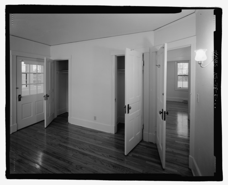
| General view of the bedroom in Building -437B. - Fort Riley, Carpenter Court Apartments, Building No. 437, 437 Carpenter Place, Riley, Riley County, KS | ||||
|---|---|---|---|---|
| Title |
General view of the bedroom in Building -437B. - Fort Riley, Carpenter Court Apartments, Building No. 437, 437 Carpenter Place, Riley, Riley County, KS |
|||
| Description |
Office of the Quartermaster General; Lower Carpenter; Main Post Historic District; Jenks, James, transmitter; Kivett, Paul S, photographer; Walkup, Marsha A, historian |
|||
| Depicted place | Kansas; Riley County; Riley | |||
| Date | Documentation compiled after 1933 | |||
| Dimensions | 4 x 5 in. | |||
| Current location |
Library of Congress Prints and Photographs Division Washington, D.C. 20540 USA http://hdl.loc.gov/loc.pnp/pp.print |
|||
| Accession number |
HABS KS-78-D-12 |
|||
| Credit line |
|
|||
| Notes |
|
|||
| Source | https://www.loc.gov/pictures/item/ks0195.photos.209949p | |||
| Permission (Reusing this file) |
|
|||

| Object location | | View this and other nearby images on: OpenStreetMap |
|---|
File history
Click on a date/time to view the file as it appeared at that time.
| Date/Time | Thumbnail | Dimensions | User | Comment | |
|---|---|---|---|---|---|
| current | 11:39, 19 July 2014 |  | 5,441 × 4,412 (22.9 MB) | Fæ (talk | contribs) | GWToolset: Creating mediafile for Fæ. HABS 16 July 2014 (1201:1400) |
You cannot overwrite this file.
File usage on Commons
The following page uses this file: