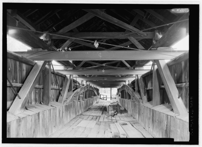
File:INTERIOR VIEW FROM ENTRANCE TO WEST PORTAL. - King's Bridge, Spanning Laurel Hill Creek at bypassed State Highway No. 653, New Lexington, Somerset County, PA HAER PA-638-5.tif
Jump to navigation
Jump to search
Size of this JPG preview of this TIF file: 800 × 583 pixels. Other resolutions: 320 × 233 pixels | 640 × 467 pixels | 1,024 × 747 pixels | 1,280 × 933 pixels | 2,560 × 1,867 pixels | 5,287 × 3,855 pixels.
Original file (5,287 × 3,855 pixels, file size: 19.44 MB, MIME type: image/tiff)
Captions
Captions
Add a one-line explanation of what this file represents
Summary[edit]
| INTERIOR VIEW FROM ENTRANCE TO WEST PORTAL. - King's Bridge, Spanning Laurel Hill Creek at bypassed State Highway No. 653, New Lexington, Somerset County, PA | ||||
|---|---|---|---|---|
| Photographer |
Lowe, Jet, creator |
|||
| Title |
INTERIOR VIEW FROM ENTRANCE TO WEST PORTAL. - King's Bridge, Spanning Laurel Hill Creek at bypassed State Highway No. 653, New Lexington, Somerset County, PA |
|||
| Description |
Southern Allegheny Conservancy; Christianson, Justine, transmitter; Marston, Christopher, project manager; Federal Highway Administration, sponsor |
|||
| Depicted place | Pennsylvania; Somerset County; New Lexington | |||
| Date | 2005 | |||
| Dimensions | height: 5 in (12.7 cm); width: 7 in (17.7 cm) | |||
| Current location |
Library of Congress Prints and Photographs Division Washington, D.C. 20540 USA http://hdl.loc.gov/loc.pnp/pp.print |
|||
| Accession number |
HAER PA-638-5 |
|||
| Credit line |
|
|||
| Notes |
|
|||
| Source | https://www.loc.gov/pictures/item/pa4030.photos.217824p | |||
| Permission (Reusing this file) |
|
|||

File history
Click on a date/time to view the file as it appeared at that time.
| Date/Time | Thumbnail | Dimensions | User | Comment | |
|---|---|---|---|---|---|
| current | 08:52, 1 August 2014 |  | 5,287 × 3,855 (19.44 MB) | Fæ (talk | contribs) | GWToolset: Creating mediafile for Fæ. HABS 31 July 2014 (3000:3200) |
You cannot overwrite this file.
File usage on Commons
The following page uses this file: