File:INTERIOR VIEW SHOWING DISPLAY OF INSIDE OF BLAST FURNACE AND MACHINERY AND ARTIFACTS INCLUDING A STEAM ENGINE HUB MADE AT THE BRIERFIELD ROLLING MILL (INSCRIBED C.C. HUCKABEE AND HAER ALA,63-BUCK,1-1.tif
Jump to navigation
Jump to search
Size of this JPG preview of this TIF file: 800 × 577 pixels. Other resolutions: 320 × 231 pixels | 640 × 461 pixels | 1,024 × 738 pixels | 1,280 × 923 pixels | 2,560 × 1,845 pixels | 5,000 × 3,604 pixels.
Original file (5,000 × 3,604 pixels, file size: 17.19 MB, MIME type: image/tiff)
Captions
Captions
Add a one-line explanation of what this file represents
Summary[edit]
| Photographer |
Lowe, Jet, creator |
|||
| Title |
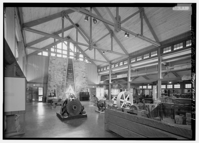
INTERIOR VIEW SHOWING DISPLAY OF INSIDE OF BLAST FURNACE AND MACHINERY AND ARTIFACTS INCLUDING A STEAM ENGINE HUB MADE AT THE BRIERFIELD ROLLING MILL (INSCRIBED C.C. HUCKABEE AND DATED 1863) AND OTHER STEAM ENGINES. - Iron and Steel Museum of Alabama, 12632 Confederate Pkwy., Bucksville, Tuscaloosa County, AL |
|||
| Depicted place | Alabama; Tuscaloosa County; Bucksville | |||
| Date | 1993 | |||
| Dimensions | 5 x 7 in. | |||
| Current location |
Library of Congress Prints and Photographs Division Washington, D.C. 20540 USA http://hdl.loc.gov/loc.pnp/pp.print |
|||
| Accession number |
HAER ALA,63-BUCK,1-1 |
|||
| Credit line |
|
|||
| Source | https://www.loc.gov/pictures/item/al1169.photos.046575p | |||
| Permission (Reusing this file) |
|

| Camera location | | View this and other nearby images on: OpenStreetMap |
|---|
File history
Click on a date/time to view the file as it appeared at that time.
| Date/Time | Thumbnail | Dimensions | User | Comment | |
|---|---|---|---|---|---|
| current | 03:28, 1 July 2014 |  | 5,000 × 3,604 (17.19 MB) | Fæ (talk | contribs) | GWToolset: Creating mediafile for Fæ. HABS batch upload 29 June 2014 (101:150) |
You cannot overwrite this file.
File usage on Commons
The following page uses this file: