File:Karte Gazastreifen.png
Jump to navigation
Jump to search
Size of this preview: 492 × 600 pixels. Other resolutions: 197 × 240 pixels | 394 × 480 pixels | 984 × 1,200 pixels.
Original file (984 × 1,200 pixels, file size: 347 KB, MIME type: image/png)
Captions
Captions
Add a one-line explanation of what this file represents

|
This locator map image could be re-created using vector graphics as an SVG file. This has several advantages; see Commons:Media for cleanup for more information. If an SVG form of this image is available, please upload it and afterwards replace this template with
{{vector version available|new image name}}.
It is recommended to name the SVG file “Karte Gazastreifen.svg”—then the template Vector version available (or Vva) does not need the new image name parameter. |
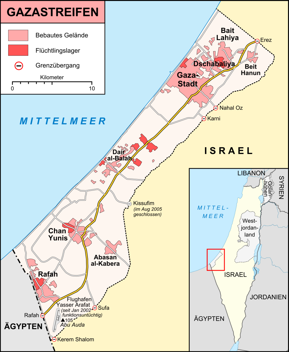
| Description | Karte des Gazastreifens, Stand Dezember 2008 |
| Date | |
| Source |
own work, used:
|
| Author | Lencer |
| Other versions |
|


This file is licensed under the Creative Commons Attribution-Share Alike 3.0 Unported license.
- You are free:
- to share – to copy, distribute and transmit the work
- to remix – to adapt the work
- Under the following conditions:
- attribution – You must give appropriate credit, provide a link to the license, and indicate if changes were made. You may do so in any reasonable manner, but not in any way that suggests the licensor endorses you or your use.
- share alike – If you remix, transform, or build upon the material, you must distribute your contributions under the same or compatible license as the original.

|
This map has been made or improved in the German Kartenwerkstatt (Map Lab). You can propose maps to improve as well.
|
File history
Click on a date/time to view the file as it appeared at that time.
| Date/Time | Thumbnail | Dimensions | User | Comment | |
|---|---|---|---|---|---|
| current | 20:42, 6 January 2009 | | 984 × 1,200 (347 KB) | Lencer (talk | contribs) | {{Information |Description= |Source= |Date= |Author= |Permission= |other_versions= }} |
| 19:20, 6 January 2009 |  | 984 × 1,200 (344 KB) | Lencer (talk | contribs) | {{Information |Description= |Source= |Date= |Author= |Permission= |other_versions= }} | |
| 21:02, 5 January 2009 |  | 984 × 1,200 (301 KB) | Lencer (talk | contribs) | {{Information| |Description=Karte des Gazastreifens, Stand Dezember 2008 |Source=own work, used: * [http://unosat.web.cern.ch/unosat/asp/prod_free.asp?pid=1304 UNOSAT, Situation Map-Gaza Crisis] * [http://www.spiegel.de/politik/auslan | |
| 20:34, 5 January 2009 |  | 984 × 1,200 (279 KB) | Lencer (talk | contribs) | {{Information| |Description=Karte des Gazastreifens, Stand Dezember 2008 |Source=own work, used: * [http://unosat.web.cern.ch/unosat/asp/prod_free.asp?pid=1304 UNOSAT, Situation Map-Gaza Crisis] * [http://www.spiegel.de/politik/auslan |
You cannot overwrite this file.
File usage on Commons
The following page uses this file:
File usage on other wikis
The following other wikis use this file:
- Usage on arz.wikipedia.org
- Usage on bg.wikipedia.org
- Usage on de.wikipedia.org
- Operation Sommerregen
- Benutzer:Lencer
- Kampf um Gaza im Juni 2007
- Grenzübergang Karni
- Dezember 2008
- Operation Gegossenes Blei
- Wikipedia:Kartenwerkstatt/Archiv/2009-01
- Goldstone-Bericht
- Benutzer:Uwe Dedering/Länderliste
- Operation Wolkensäule
- Tunnelsystem im Gazastreifen
- Wikipedia:Kartenwerkstatt/Archiv/2013-10
- Operation Protective Edge
- Wikipedia:Kartenwerkstatt/Karte des Tages/Galerie
- Benutzer:Eandré/Studien/Nahost
- Glossar zu Kulturdenkmälern im Gazastreifen
- Usage on de.wikinews.org
- Usage on de.wikivoyage.org
- Usage on eo.wikipedia.org
- Usage on fa.wikipedia.org
- Usage on fi.wikipedia.org
- Usage on frr.wikipedia.org
- Usage on ia.wikipedia.org
- Usage on nl.wikipedia.org
- Usage on pl.wiktionary.org
- Usage on www.wikidata.org