File:Karte Salzkotten Le Coq 1805.png
Jump to navigation
Jump to search
Size of this preview: 800 × 557 pixels. Other resolutions: 320 × 223 pixels | 640 × 445 pixels | 1,024 × 713 pixels | 1,200 × 835 pixels.
Original file (1,200 × 835 pixels, file size: 1.69 MB, MIME type: image/png)
Captions
Captions
Add a one-line explanation of what this file represents
| Description |
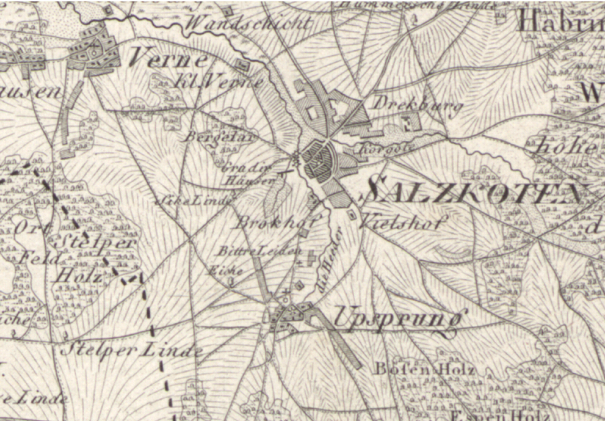
Deutsch: Karte von Salzkotten zu Beginn des 19. Jahrhunderts |
||||
| Date | circa 1805 | ||||
| Source | Ausschnitt aus „Topographische Karte in XXII Blaettern den grösten Theil von Westphalen enthaltend [...], Section XVI“ | ||||
| Author |
Herausgeber von Carl Ludwig von Le Coq (1805), Digitalisat des Landesarchivs Nordrhein-Westfalen Abteilung Westfalen | KSA 28580 |
||||
| Permission (Reusing this file) |
|
||||
File history
Click on a date/time to view the file as it appeared at that time.
| Date/Time | Thumbnail | Dimensions | User | Comment | |
|---|---|---|---|---|---|
| current | 05:04, 12 February 2009 | | 1,200 × 835 (1.69 MB) | Ludger1961 (talk | contribs) | {{Information |Description={{de|Karte von Salzkotten zu Beginn des 19. Jahrhunderts}} |Source=Ausschnitt aus „[http://www.lwl.org/westfaelische-geschichte/kar-zoom/kar373-l.html Topographische Karte in XXII Blaettern den grösten Theil von Westphale |
You cannot overwrite this file.
File usage on Commons
The following page uses this file:
File usage on other wikis
The following other wikis use this file:
- Usage on azb.wikipedia.org
- Usage on de.wikipedia.org
- Usage on nl.wikipedia.org