File:Kern County, California – Map.pdf
Jump to navigation
Jump to search

Size of this JPG preview of this PDF file: 800 × 565 pixels. Other resolutions: 320 × 226 pixels | 640 × 452 pixels | 1,024 × 724 pixels | 1,280 × 905 pixels | 2,479 × 1,752 pixels.
Original file (2,479 × 1,752 pixels, file size: 1.86 MB, MIME type: application/pdf)
Captions
Captions
Add a one-line explanation of what this file represents
Summary[edit]
| Description |
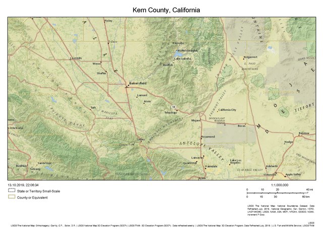
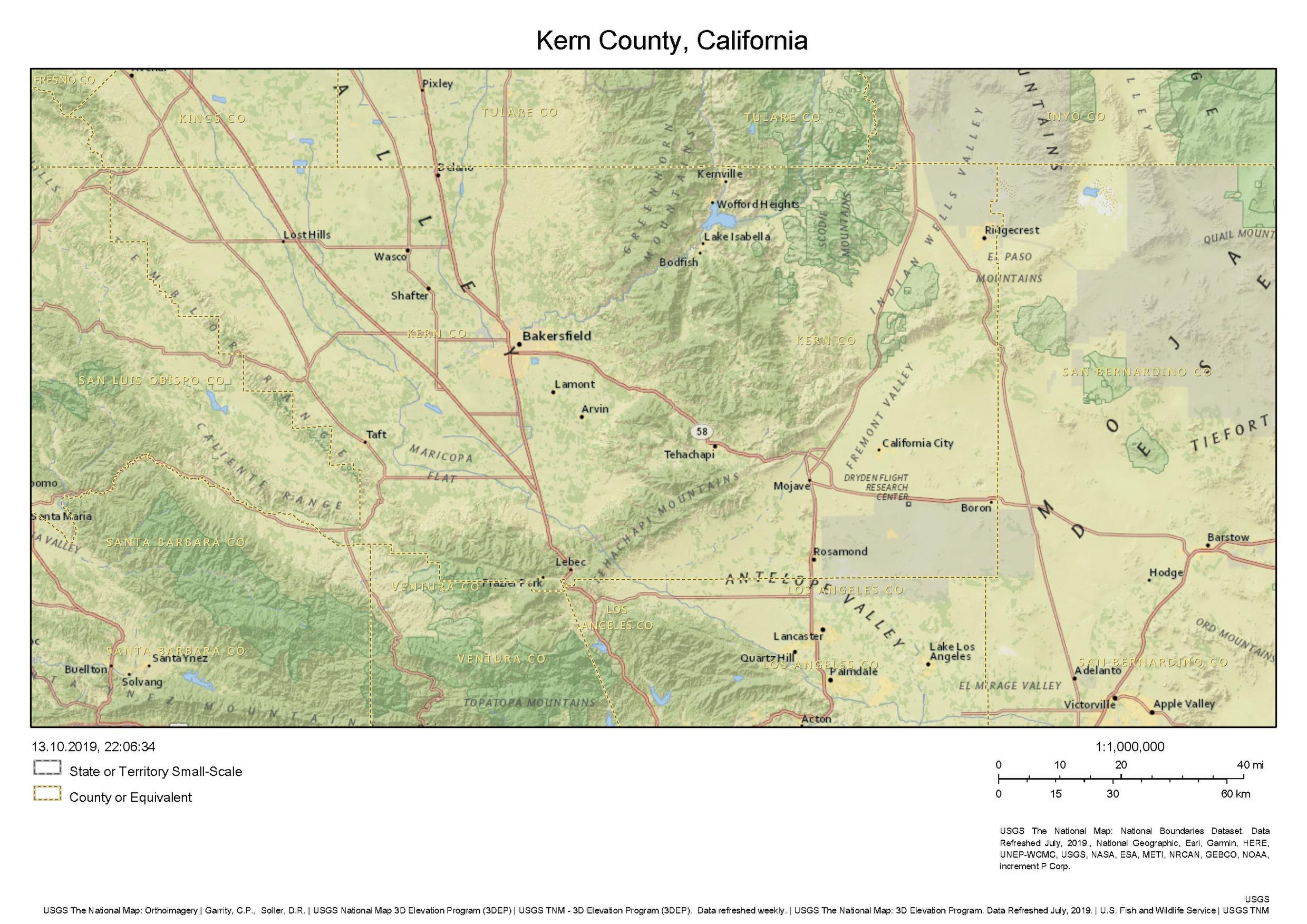
English: Map of Kern County, California. Section of "The Natinoal Map" by USGS. Base map: "National Geographic". |
| Date | |
| Source | https://viewer.nationalmap.gov/advanced-viewer/ |
| Author | United States Geological Survey |
Licensing[edit]
This image is in the public domain in the United States because it only contains materials that originally came from the United States Geological Survey, an agency of the United States Department of the Interior. For more information, see the official USGS copyright policy.
|
File history
Click on a date/time to view the file as it appeared at that time.
| Date/Time | Thumbnail | Dimensions | User | Comment | |
|---|---|---|---|---|---|
| current | 21:57, 13 October 2019 |  | 2,479 × 1,752 (1.86 MB) | A11w1ss3nd (talk | contribs) | {{Information |description ={{en|1=Map of Kern County, California. Section of "The Natinoal Map" by USGS. Base map: "National Geographic". }} |date =2019-10-13 |source =https://viewer.nationalmap.gov/advanced-viewer/ |author =United States Geological Survey }} Category:Maps of Kern County, California Category:Kern County, California |
You cannot overwrite this file.
File usage on Commons
There are no pages that use this file.