File:Map of Brasov (1905).png
Jump to navigation
Jump to search

Size of this preview: 800 × 526 pixels. Other resolutions: 320 × 211 pixels | 640 × 421 pixels | 1,024 × 674 pixels | 1,280 × 842 pixels | 2,340 × 1,540 pixels.
Original file (2,340 × 1,540 pixels, file size: 642 KB, MIME type: image/png)
Captions
Captions
Add a one-line explanation of what this file represents
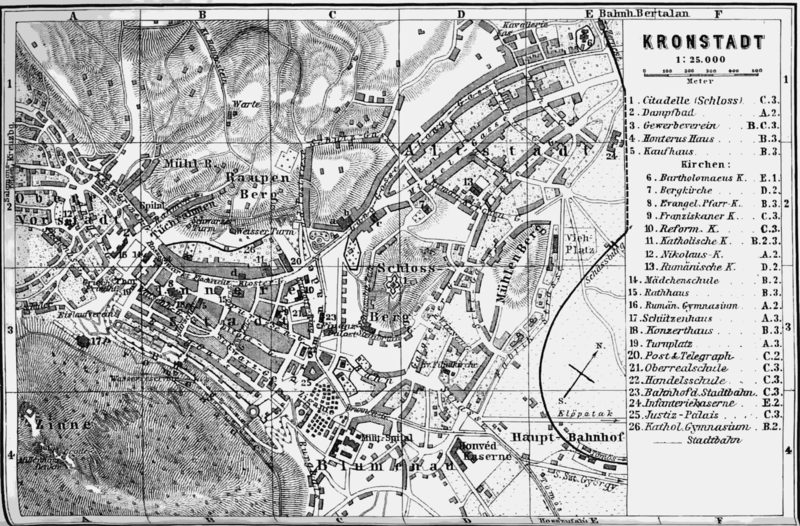
| Description | Map of Braşov | ||||
| Date | |||||
| Source | Karl Baedeker, Austria-Hungry, including Dalmatia and Bosnia - handbook for travellers, Leipzig, 1905. | ||||
| Author | Wagner & Debes, Leipzig | ||||
| Permission (Reusing this file) |
|
||||
File history
Click on a date/time to view the file as it appeared at that time.
| Date/Time | Thumbnail | Dimensions | User | Comment | |
|---|---|---|---|---|---|
| current | 18:02, 22 March 2008 | | 2,340 × 1,540 (642 KB) | Alex:D (talk | contribs) | {{Information |Description=Map of Braşov |Source=Karl Baedeker, ''Austria-Hungry, including Dalmatia and Bosnia - handbook for travellers'', Leipzig, 1905. |Date=1905 |Author=Wagner & Debes, Leipzig |Permission={{PD-Old}} |other_versions= }} [[Category:M |
You cannot overwrite this file.
File usage on Commons
The following page uses this file:
File usage on other wikis
The following other wikis use this file:
- Usage on de.wikipedia.org
.png&oldid=490994457)