File:North America, as divided amongst the European powers - by Samuel Dunn, mathematician. NYPL434859.tiff
Jump to navigation
Jump to search

Size of this JPG preview of this TIF file: 800 × 599 pixels. Other resolutions: 320 × 240 pixels | 640 × 480 pixels | 1,024 × 767 pixels | 1,280 × 959 pixels | 2,560 × 1,918 pixels | 5,883 × 4,408 pixels.
Original file (5,883 × 4,408 pixels, file size: 74.2 MB, MIME type: image/tiff)
Captions
Captions
Add a one-line explanation of what this file represents
Summary[edit]
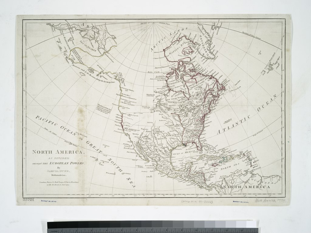
| Description | North America, as divided amongst the European powers / by Samuel Dunn, mathematician.; Maps of North America. / Whole | |||||||||||||||||||||||
| Notes | "... As the Act directs." ''Note 2.'') Appears in the American Military Pocket Atlas. ''Note 3.'') Bancroft Collection. ''Note 4.'') National Endowment for the Humanities Grant for Access to Early Maps of the Middle Atlantic Seaboard. ''Note 5.'') Prime meridian: Ferro. ''Note 6.'') Relief shown pictorially. | |||||||||||||||||||||||
| Item physical description | 1 map : hand col. ; 30 x 44 cm. | |||||||||||||||||||||||
| Catalogue call number | Map Div. 01-5203 | |||||||||||||||||||||||
| Standard reference | Phillips. Maps of America, p. 584 | |||||||||||||||||||||||
| Date | 10 Jany. 1774 | |||||||||||||||||||||||
| Source |
http://digitalgallery.nypl.org/nypldigital/dgkeysearchdetail.cfm?imageID=434859
|
|||||||||||||||||||||||
| Author |
|
|||||||||||||||||||||||
| Permission (Reusing this file) |
From The Lionel Pincus and Princess Firyal Map Division. http://maps.nypl.org
|
|||||||||||||||||||||||
| Location | Stephen A. Schwarzman Building / The Lionel Pincus and Princess Firyal Map Division | |||||||||||||||||||||||
| Digital item published | 2-3-2004; updated 3-25-2011 | |||||||||||||||||||||||
| Digital ID | 434859 | |||||||||||||||||||||||

The making of this file was supported by Wikimedia UK.
To see other files made with the support of Wikimedia UK, please see the category Supported by Wikimedia UK.
|
File history
Click on a date/time to view the file as it appeared at that time.
| Date/Time | Thumbnail | Dimensions | User | Comment | |
|---|---|---|---|---|---|
| current | 20:02, 18 April 2020 |  | 5,883 × 4,408 (74.2 MB) | SteinsplitterBot (talk | contribs) | Bot: Image rotated by 270° |
| 15:47, 2 May 2014 |  | 4,408 × 5,883 (74.2 MB) | Fæ (talk | contribs) | GWToolset:: Creating mediafile for Fæ. Tranche 3 11591-16518 @ 2 May, 06:47 BST |
You cannot overwrite this file.
File usage on Commons
There are no pages that use this file.