File:Norway Buskerud location map.svg

Original file (SVG file, nominally 966 × 1,020 pixels, file size: 130 KB)
Captions
Captions
Summary[edit]
| Description |
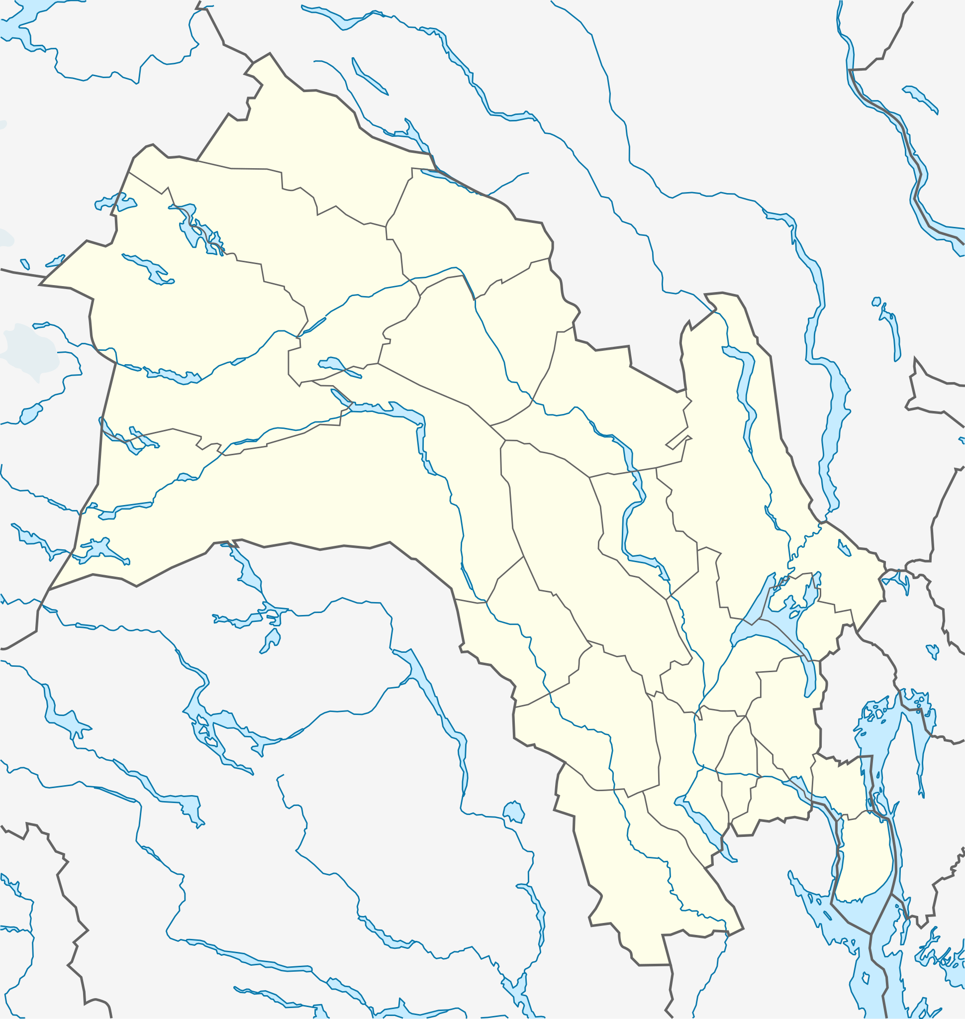
Quadratische Plattkarte, N-S-Streckung 200 %. Geographische Begrenzung der Karte:
Equirectangular projection, N/S stretching 200 %. Geographic limits of the map:
|
|
| Date | ||
| Source |
Own work, using
|
|
| Author | NordNordWest | |
| Permission (Reusing this file) |
This file is licensed under the Creative Commons Attribution-Share Alike 3.0 Germany license.
 This file is licensed under the Creative Commons Attribution-Share Alike 3.0 Unported license.
|


|
This map has been made or improved in the German Kartenwerkstatt (Map Lab). You can propose maps to improve as well.
|
File history
Click on a date/time to view the file as it appeared at that time.
| Date/Time | Thumbnail | Dimensions | User | Comment | |
|---|---|---|---|---|---|
| current | 09:12, 4 November 2011 | | 966 × 1,020 (130 KB) | NordNordWest (talk | contribs) | corr |
| 21:14, 10 November 2010 |  | 966 × 1,020 (130 KB) | NordNordWest (talk | contribs) | =={{int:filedesc}}== {{Information |Description= {{de|Positionskarte von Buskerud, Norwegen}} Quadratische Plattkarte, N-S-Streckung 200 %. Geographische Begrenzung der Karte: * N: 61.2° N * S: 59.3° N * W: 7.3° O * O: |
You cannot overwrite this file.
File usage on Commons
The following 23 pages use this file:
- User:NordNordWest/Gallery/Location maps
- File:Landskap - Ringerike.svg
- File:Norway Buskerud - Drammen.svg
- File:Norway Buskerud - Flesberg.svg
- File:Norway Buskerud - Flå.svg
- File:Norway Buskerud - Gol.svg
- File:Norway Buskerud - Hemsedal.svg
- File:Norway Buskerud - Hol.svg
- File:Norway Buskerud - Hole.svg
- File:Norway Buskerud - Hurum.svg
- File:Norway Buskerud - Kongsberg.svg
- File:Norway Buskerud - Krødsherad.svg
- File:Norway Buskerud - Lier.svg
- File:Norway Buskerud - Modum.svg
- File:Norway Buskerud - Nedre Eiker.svg
- File:Norway Buskerud - Nes.svg
- File:Norway Buskerud - Nore og Uvdal.svg
- File:Norway Buskerud - Ringerike.svg
- File:Norway Buskerud - Rollag.svg
- File:Norway Buskerud - Røyken.svg
- File:Norway Buskerud - Sigdal.svg
- File:Norway Buskerud - Ål.svg
- File:Norway Buskerud - Øvre Eiker.svg
File usage on other wikis
The following other wikis use this file:
- Usage on ar.wikipedia.org
- Usage on ba.wikipedia.org
- Usage on bg.wikipedia.org
- Usage on ca.wikipedia.org
- Usage on ceb.wikipedia.org
- Usage on ckb.wikipedia.org
- Usage on cs.wikipedia.org
- Usage on da.wikipedia.org
- Usage on de.wikipedia.org
- Usage on eo.wikipedia.org
- Usage on es.wikipedia.org
- Usage on fa.wikipedia.org
- Usage on fi.wikipedia.org
- Usage on he.wikipedia.org
- Usage on hu.wikipedia.org
- Usage on ja.wikipedia.org
- Usage on kbd.wikipedia.org
- Usage on kn.wikipedia.org
- Usage on lv.wikipedia.org
- Usage on mk.wikipedia.org
- Usage on nn.wikipedia.org
- Usage on no.wikipedia.org
View more global usage of this file.