File:ON 401 Canada inset.svg
Jump to navigation
Jump to search

Size of this PNG preview of this SVG file: 706 × 599 pixels. Other resolutions: 283 × 240 pixels | 566 × 480 pixels | 905 × 768 pixels | 1,207 × 1,024 pixels | 2,413 × 2,048 pixels | 1,084 × 920 pixels.
Original file (SVG file, nominally 1,084 × 920 pixels, file size: 68 KB)
Captions
Captions
Add a one-line explanation of what this file represents
Summary[edit]
| Description |
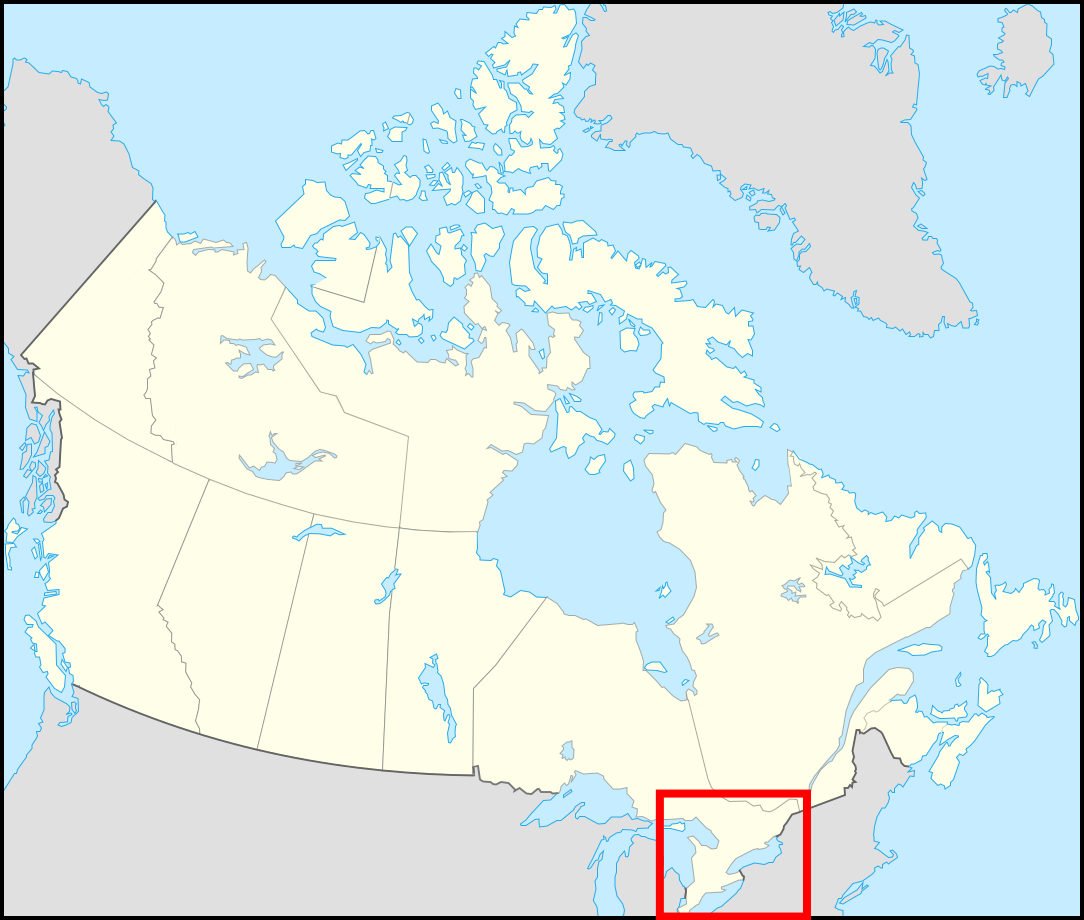
English: File:Canada location map.svg with a red box highlighting the general area of File:Ontario 401 map.svg. |
| Date | (UTC) |
| Source |
This file was derived from: Canada location map.svg: |
| Author |
|
.svg)
| This is a retouched picture, which means that it has been digitally altered from its original version. The original can be viewed here: Canada location map.svg:
|
Licensing[edit]
I, the copyright holder of this work, hereby publish it under the following licenses:
This file is licensed under the Creative Commons Attribution-Share Alike 2.5 Generic, 2.0 Generic and 1.0 Generic license.
- You are free:
- to share – to copy, distribute and transmit the work
- to remix – to adapt the work
- Under the following conditions:
- attribution – You must give appropriate credit, provide a link to the license, and indicate if changes were made. You may do so in any reasonable manner, but not in any way that suggests the licensor endorses you or your use.
- share alike – If you remix, transform, or build upon the material, you must distribute your contributions under the same or compatible license as the original.
| This file is licensed under the Creative Commons Attribution-Share Alike 3.0 Unported license. | ||
| ||
| This licensing tag was added to this file as part of the GFDL licensing update. |

|
Permission is granted to copy, distribute and/or modify this document under the terms of the GNU Free Documentation License, Version 1.2 or any later version published by the Free Software Foundation; with no Invariant Sections, no Front-Cover Texts, and no Back-Cover Texts. A copy of the license is included in the section entitled GNU Free Documentation License. |
You may select the license of your choice.
Original upload log[edit]
This image is a derivative work of the following images:
- File:Canada location map.svg licensed with Cc-by-sa-2.5,2.0,1.0, Cc-by-sa-3.0-migrated, GFDL
- 2008-07-18T22:53:32Z Yug 1084x920 (115772 Bytes) {{Information |Description= |Source= |Date= |Author= |Permission= |other_versions= }}
- 2008-07-17T22:18:53Z Yug 1084x920 (158863 Bytes) {{Information |Description=*{{fr}} Version recadrée et épurée de [[:Image:Carte administrative du Canada.svg]] pour la géolocation du Canada. Le cadrage est x=80px, y=166px, height=920, width=1084. Quelques positions :
Uploaded with derivativeFX
File history
Click on a date/time to view the file as it appeared at that time.
| Date/Time | Thumbnail | Dimensions | User | Comment | |
|---|---|---|---|---|---|
| current | 18:40, 23 February 2012 | | 1,084 × 920 (68 KB) | Fredddie (talk | contribs) | increased visibility of box borders |
| 18:25, 23 February 2012 |  | 1,084 × 920 (68 KB) | Fredddie (talk | contribs) | == {{int:filedesc}} == {{Information |Description={{en|1=File:Canada_location_map.svg with a red box highlighting the general area of File:Ontario 401 map.svg.}} |Source={{Derived from|Canada_location_map.svg|display=50}} |Date=2012-02-23 18:... |
You cannot overwrite this file.
File usage on Commons
There are no pages that use this file.