File:Stixenstein - Burg (b).JPG
Jump to navigation
Jump to search

Size of this preview: 800 × 466 pixels. Other resolutions: 320 × 186 pixels | 640 × 373 pixels | 1,024 × 596 pixels | 1,280 × 746 pixels | 2,560 × 1,491 pixels | 4,790 × 2,790 pixels.
Original file (4,790 × 2,790 pixels, file size: 8.93 MB, MIME type: image/jpeg)
Captions
Captions
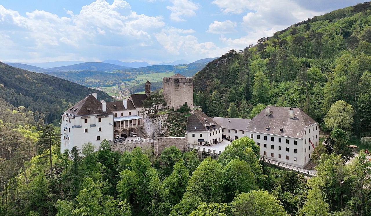
Northeast view of Stixenstein Castle in Ternitz, Lower Austria.
Summary[edit]
| Description |
Deutsch: Nordostansicht der Burg in Stixenstein, eine Rotte (Ortschaft) in der niederösterreichischen Stadtgemeinde Ternitz.
Die Burg wurde vermutlich im 12. Jahrhundert errichtet und diente als Straßensperre zwischen dem Sierningtal und Puchberg am Schneeberg. Mitte des 16. Jahrhunderts wurde das Adelsgeschlecht Hoyos Besitzer der Burg. Von denen wurde der Ansitz im Renaissancestil zum repräsentativen Schloss ausgebaut. Die Anlage wurde 1735 und 1802 (1803?) durch Brände schwer beschädigt und bis 1832 nur mehr teilweise wiederhergestellt: [1]. 1865 erwarb die Stadt Wien die für die Wasserversorgung der Stadt benötigte Stixensteinquelle und 1937 die dazugehörigen Wälder mit dem Schloss Stixenstein. Seit 1997 ist das Schloss teilweise an den „Verein der Freunde des Schlosses Stixenstein“ verpachtet. Heute finden im Gebäude, dass auch für private Feste gemietet werden kann, Theateraufführungen, Konzerte und Ausstellungen statt: [2], [3]. English: Northeast view of Stixenstein Castle in Ternitz, Lower Austria. |
| Date | |
| Source | Own work |
| Author | C.Stadler/Bwag |
| Permission (Reusing this file) |
Deutsch: Hallo, du darfst mein Foto kostenlos nutzen, aber nenne mich bitte als Fotograf, beispielsweise „Foto: C.Stadler/Bwag“ oder © C.Stadler/Bwag; CC-BY-SA-4.0. Auf mehr Angaben bestehe ich nicht - im Gegensatz zu manch anderen, die die Vorgaben der unten angeführten Lizenzierung auf Punkt und Beistrich einfordern. English: Feel free to use my photos, but please mention me as the author like © C.Stadler/Bwag or © C.Stadler/Bwag; CC-BY-SA-4.0 (that's good enough) and if you want send me a message: bwag@gmx.net. |
| Other versions |
|
.JPG)
.JPG)
.JPG&action=edit§ion=1)
| Object location | | View this and other nearby images on: OpenStreetMap |
|---|
.JPG¶ms=047.745210_N_0015.979360_E_globe:Earth_class:object_type:object__&language=en)
| Camera location | | View this and other nearby images on: OpenStreetMap |
|---|
.JPG¶ms=047.746330_N_0015.980639_E_globe:Earth_type:camera_heading:220.00&language=en)
Licensing[edit]
.JPG&action=edit§ion=2)
I, the copyright holder of this work, hereby publish it under the following license:
This file is licensed under the Creative Commons Attribution-Share Alike 4.0 International license.
- You are free:
- to share – to copy, distribute and transmit the work
- to remix – to adapt the work
- Under the following conditions:
- attribution – You must give appropriate credit, provide a link to the license, and indicate if changes were made. You may do so in any reasonable manner, but not in any way that suggests the licensor endorses you or your use.
- share alike – If you remix, transform, or build upon the material, you must distribute your contributions under the same or compatible license as the original.
File history
Click on a date/time to view the file as it appeared at that time.
| Date/Time | Thumbnail | Dimensions | User | Comment | |
|---|---|---|---|---|---|
| current | 20:37, 11 May 2022 | | 4,790 × 2,790 (8.93 MB) | Bwag (talk | contribs) | == {{int:filedesc}} == {{Information |Description= {{de|1= Nordostansicht der Burg in Stixenstein, eine Rotte (Ortschaft) in der niederösterreichischen Stadtgemeinde Ternitz.<br/>Die Burg wurde vermutlich im 12. Jahrhundert errichtet und diente als Straßensperre zwischen dem Sierningtal und Puchberg am Schneeberg. Mitte des 16. Jahrhunderts wurde das Adelsgeschlecht Hoyos Besitzer der Burg. Von denen wurde der Ansitz im Renaissancestil zum repräsentativen Schloss ausgebaut. Die Anlage wurde... |
You cannot overwrite this file.
File usage on Commons
The following 3 pages use this file:
File usage on other wikis
The following other wikis use this file:
- Usage on bg.wikipedia.org
- Usage on de.wikipedia.org
- Usage on hu.wikipedia.org
- Usage on nl.wikipedia.org
- Usage on www.wikidata.org
.JPG&oldid=706229531)