File:LocationEurope.png
Aller à la navigation
Aller à la recherche

Taille de cet aperçu : 800 × 407 pixels. Autres résolutions : 320 × 163 pixels | 640 × 326 pixels | 1 024 × 521 pixels | 1 280 × 651 pixels | 2 759 × 1 404 pixels.
Fichier d’origine (2 759 × 1 404 pixels, taille du fichier : 99 kio, type MIME : image/png)
Légendes
Légendes
Ajoutez en une ligne la description de ce que représente ce fichier

|
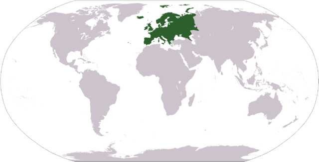
Une version vectorielle de cette image existe, dans le format « SVG ». Si elle n’est pas inférieure, elle devrait être utilisée à la place de la présente version pour des affichages en plus grandes dimensions ou nécessitant une meilleure résolution.
File:LocationEurope.png → File:LocationEuropeGreen.svg
Pour plus d’informations sur les images vectorielles, consultez la page de transition de Commons vers le format SVG. Voir aussi les informations à propos de la manière dont le logiciel MediaWiki gère les images au format SVG. |
 |
| Description |
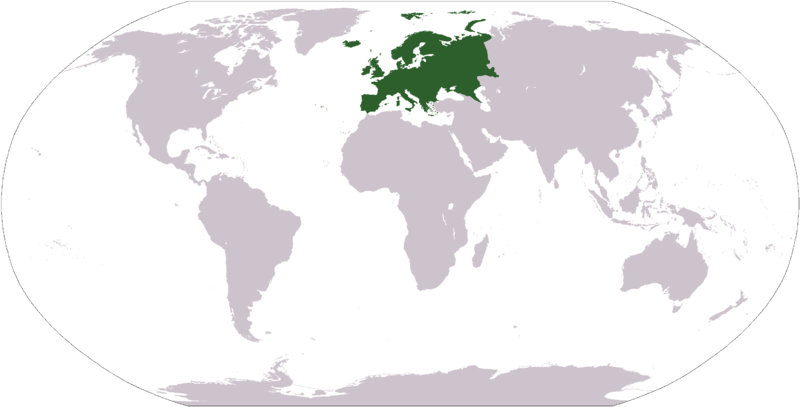
Deutsch: Weltkarte mit Fokus auf Europa.
English: World map depicting Europe.
Esperanto: Mondmapo bildiganta Eŭropon.
Español: Ubicación de Europa.
Українська: Карта світу, на якій виділена Європа.
Bahasa Indonesia: Peta dunia yang menyoroti Eropa. |
| Date | |
| Source | own work - map adapted from PDF world map at CIA World Fact Book |
| Auteur | user:Cumhur |
| Autres versions |
Œuvres dérivées de ce fichier : Wikinews Europa mapa.png - |
Cette image est dans le domaine public parce que son contenu provient du World Factbook, édité par la Central Intelligence Agency des États-Unis d’Amérique.
|
 |
Historique du fichier
Cliquer sur une date et heure pour voir le fichier tel qu'il était à ce moment-là.
| Date et heure | Vignette | Dimensions | Utilisateur | Commentaire | |
|---|---|---|---|---|---|
| actuel | 28 septembre 2008 à 11:42 | | 2 759 × 1 404 (99 kio) | Aaker (d | contributions) | Reverted to version as of 12:40, 19 January 2008 |
| 27 septembre 2008 à 19:29 |  | 2 759 × 1 404 (85 kio) | Octane (d | contributions) | eurosocialist revisionism GTFO the definition of the continent | |
| 19 janvier 2008 à 12:40 |  | 2 759 × 1 404 (99 kio) | F l a n k e r (d | contributions) | Transparency | |
| 31 janvier 2007 à 10:36 |  | 2 759 × 1 404 (56 kio) | FrancisTyers~commonswiki (d | contributions) | Please do not change a widely used image without discussion beforehand. | |
| 31 janvier 2007 à 08:20 |  | 2 759 × 1 404 (84 kio) | Der Eberswalder (d | contributions) | {{Information |Description= |Source= |Date= |Author=Der Eberswalder |Permission=Public Domain |other_versions= }} | |
| 8 avril 2006 à 08:58 |  | 2 759 × 1 404 (56 kio) | E Pluribus Anthony~commonswiki (d | contributions) | World map: Europe (location) | |
| 17 décembre 2005 à 22:42 |  | 2 759 × 1 404 (56 kio) | E Pluribus Anthony~commonswiki (d | contributions) | World map: Europe (location) | |
| 17 décembre 2005 à 22:29 |  | 2 759 × 1 404 (56 kio) | E Pluribus Anthony~commonswiki (d | contributions) | World map: Europe (location) | |
| 17 décembre 2005 à 20:54 |  | 2 759 × 1 404 (56 kio) | E Pluribus Anthony~commonswiki (d | contributions) | World map: Europe (location) | |
| 3 novembre 2005 à 19:26 |  | 2 759 × 1 404 (56 kio) | E Pluribus Anthony~commonswiki (d | contributions) | World map: Europe (location) |
Vous ne pouvez pas remplacer ce fichier.
Utilisations locales du fichier
Les 14 pages suivantes utilisent ce fichier :
- Atlas of European history
- Church
- Churches in Europe
- Continents
- Europe
- Flores (Azores)
- Northern Hemisphere
- Tram
- User:Achim55/SVG replacements
- Commons:Files used on the OpenStreetMap Wiki/15
- Commons:Top 200 images which have a vector version available by usage
- File:EuropeLocation.svg
- File:Maailmajaod pd.png
- File talk:Worldmapeurope.jpg
Utilisations du fichier sur d’autres wikis
Les autres wikis suivants utilisent ce fichier :
- Utilisation sur am.wikipedia.org
- Utilisation sur arc.wikipedia.org
- Utilisation sur ar.wikipedia.org
- البحر الأبيض المتوسط
- آسيا
- أوروبا
- قارة
- المحيط الهندي
- المحيط الهادئ
- القارة القطبية الجنوبية
- أوقيانوسيا
- أمريكا الشمالية
- أمريكا الجنوبية
- لسانيات أوروبا
- أوروبا الشرقية
- القطب الشمالي
- أوروبا الوسطى
- أوروبا الشمالية
- القوقاز
- شمال إفريقيا
- بحر
- أغسطس 2005
- المنطقة القطبية الجنوبية
- المحيط المتجمد الشمالي
- القرن الإفريقي
- يوروبوب
- غرب آسيا
- آسيا الوسطى
- جنوب آسيا
- شرق آسيا
- جنوب شرق آسيا
- المحيط الجنوبي
Voir davantage sur l’utilisation globale de ce fichier.