File:Usa and Canada with names.svg
Jump to navigation
Jump to search

Size of this PNG preview of this SVG file: 600 × 600 pixels. Other resolutions: 240 × 240 pixels | 480 × 480 pixels | 768 × 768 pixels | 1,024 × 1,024 pixels | 2,048 × 2,048 pixels | 1,730 × 1,730 pixels.
Original file (SVG file, nominally 1,730 × 1,730 pixels, file size: 260 KB)
Captions
Captions
Add a one-line explanation of what this file represents
| Description |
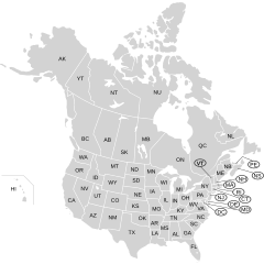
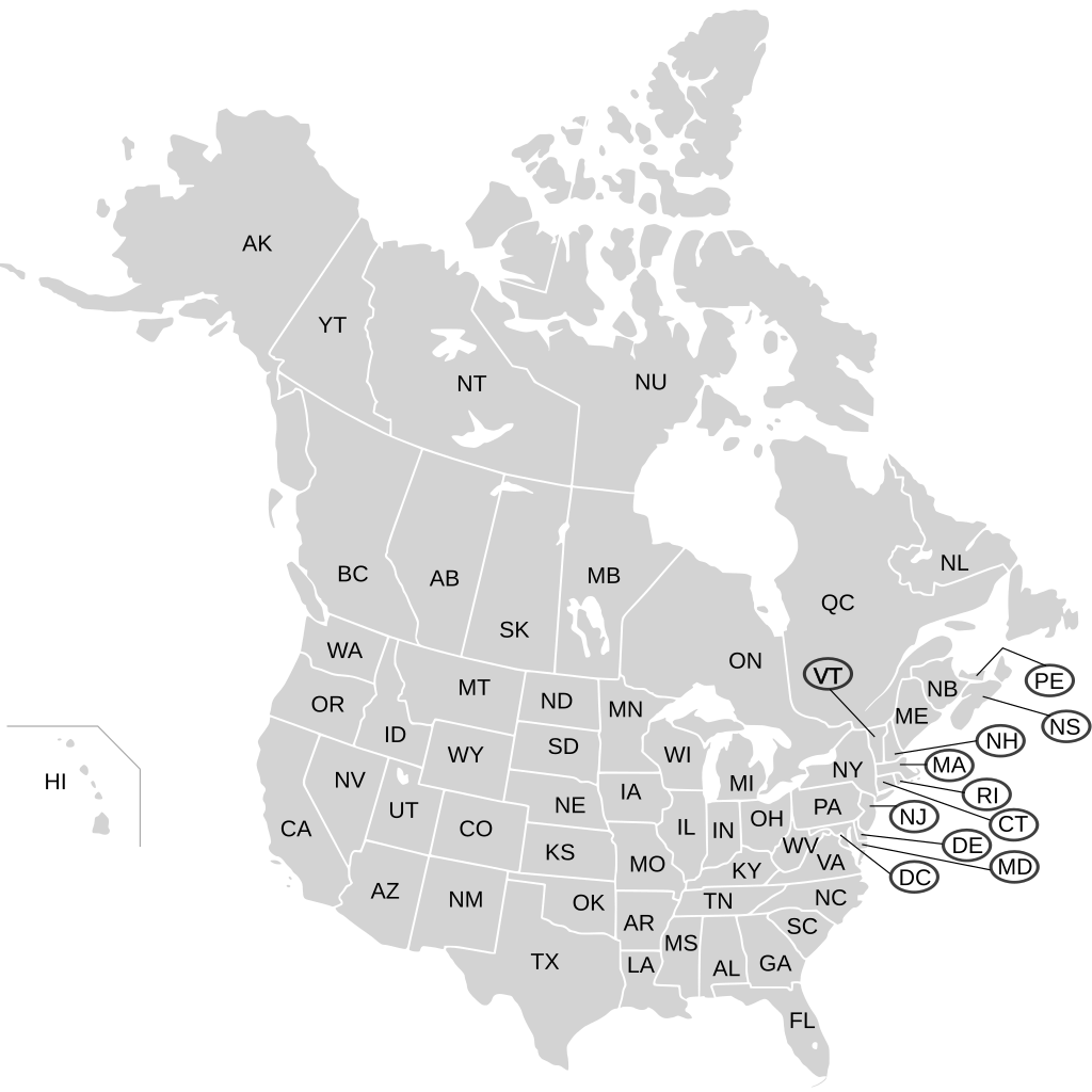
English: Blank SVG map of USA and Canada with state and province borders. Hawaii has been moved closer to the mainland USA to reduce width of image. Each state, province or territory is labeled with the two-letter code for that area.
Non-contiguous parts of a states/provinces are "grouped" together with the main area of the state/provinces, so any state/provinces can be coloured in completion with one click anywhere on the state/provinces's area. Also, all states/provinces have a "id" attached to them, making them easy to find. Select "find" and then enter in the state/provinces's ISO 3166-2 code in the "id" field to find it. The codes can be found here (Canada) and here (USA). The labels for each state are also so marked, with the word "label" at the end; the areas that are indicated with a label in a circle, connected by a line, are marked the same way with "circle" and "line" as appropriate. The circle, line and label fields are in alphabetical order. |
| Date | 03-07-2007 (upload with labels 9-Aug-2007) |
| Source |
|
| Author | Lokal_Profil labels added by Paul Robinson |
| Permission (Reusing this file) |
This file is licensed under the Creative Commons Attribution-Share Alike 2.5 Generic license.
|
| Other versions |
Source of this map (blank without labels) |
This W3C-unspecified vector image was created with Inkscape .
File history
Click on a date/time to view the file as it appeared at that time.
| Date/Time | Thumbnail | Dimensions | User | Comment | |
|---|---|---|---|---|---|
| current | 23:09, 26 June 2008 | | 1,730 × 1,730 (260 KB) | Rfc1394 (talk | contribs) | Mark NS and NB labels and circle and line in accordance with the previous markings so they show up in the XML editor. |
| 22:33, 26 June 2008 |  | 1,730 × 1,730 (260 KB) | Rfc1394 (talk | contribs) | Correction to prior map; New Brunswick was marked as Nova Scotia and NS wasn't marked at all. | |
| 15:23, 9 August 2007 |  | 1,730 × 1,730 (259 KB) | Rfc1394 (talk | contribs) | {{Information |Description={{en|Blank SVG map of USA and Canada with state and province borders. Hawaii has been moved closer to the mainland USA to reduce width of image.}} Non-contiguous parts of a states/provinces are "grouped" together with the main a |
You cannot overwrite this file.
File usage on Commons
The following 2 pages use this file:
.svg)
.svg)
File usage on other wikis
The following other wikis use this file:
- Usage on ru.wikipedia.org