Category:1680s maps of New York (state)
Jump to navigation
Jump to search
States of the United States: Delaware · Florida · Illinois · Louisiana · Maryland · New Jersey · New Mexico · New York · Pennsylvania · South Carolina · Virginia
Media in category "1680s maps of New York (state)"
This category contains only the following file.
-
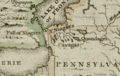 Darlington map of the Niagra region 1680.png 782 × 497; 956 KB
