Category:1690s maps of China
Jump to navigation
Jump to search
Countries of Asia: Afghanistan · Armenia‡ · Azerbaijan‡ · People's Republic of China · Cyprus‡ · Egypt‡ · Georgia‡ · India · Indonesia‡ · Iran · Iraq · Japan · Pakistan · Russia‡ · Syria · Turkey‡
Limited recognition: Taiwan · State of Palestine
‡: partly located in Asia
Limited recognition: Taiwan · State of Palestine
‡: partly located in Asia
Media in category "1690s maps of China"
The following 15 files are in this category, out of 15 total.
-
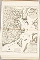
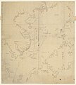
 AMH-5177-NA Map of Japan, Korea and west America.jpg 2,400 × 1,693; 455 KB
-
 Atlas Van der Hagen-KW1049B13 033-IMPERII SINARVM NOVA DESCRIPTO.jpeg 5,500 × 4,292; 3.52 MB
-
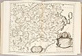
 Atlante Veneto Volume 2 112.jpg 7,115 × 10,592; 8.46 MB
-
 Atlante Veneto Volume 2 113.jpg 7,048 × 10,568; 7.98 MB
-
 Atlante Veneto Volume 2 114.jpg 10,567 × 7,126; 8.4 MB
-
 Atlante Veneto Volume 2 115.jpg 10,563 × 7,066; 8.15 MB
-
 Atlante Veneto Volume 2 116.jpg 10,544 × 7,056; 7.83 MB
-
 Atlante Veneto Volume 2 117.jpg 10,482 × 6,978; 8.04 MB
-
 Atlante Veneto Volume 2 118.jpg 10,455 × 7,152; 8.45 MB
-
 Atlante Veneto Volume 2 119.jpg 10,422 × 7,147; 9.41 MB
-
 Atlante Veneto Volume 2 120.jpg 10,417 × 7,264; 7.8 MB
-
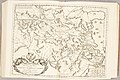
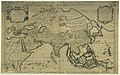 L'Asie divisée en ses principales régions... - par le Sr Sanson... - btv1b55000424t.jpg 11,419 × 7,126; 11.62 MB
-

-
-
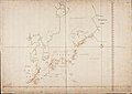
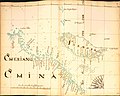 William Hack, Formosa.jpg 8,917 × 7,154; 2.55 MB


