Category:1804 maps of Saxony
Jump to navigation
Jump to search
Federal states of Germany:
Media in category "1804 maps of Saxony"
The following 17 files are in this category, out of 17 total.
-
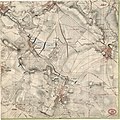
 Charte den südlichen Theil des Obersächsischen Kreises vorstellend.jpg 7,260 × 5,647; 15.32 MB
-
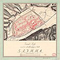 Grundriss Grimma 1804.jpg 7,660 × 7,640; 14.83 MB
-
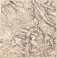
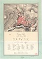 Grundriss Kamenz 1804.jpg 5,510 × 7,800; 13.57 MB
-
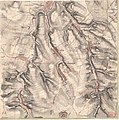
 Meilenblatt B 267 Kamenz.jpg 9,050 × 9,030; 35.89 MB
-
 Meilenblatt B 289 Crostwitz.jpg 9,030 × 9,020; 31.76 MB
-
 Meilenblatt B 309 Göda.jpg 9,000 × 9,010; 32.22 MB
-
 Meilenblatt B 325 Doberschau.jpg 8,990 × 9,020; 31.95 MB
-
 Meilenblatt B 337 Großpostwitz.jpg 8,580 × 8,560; 32.21 MB
-
 Meilenblatt B 346 Sohland.jpg 8,560 × 8,570; 20.12 MB
-
 Meilenblatt B 347 Oppach.jpg 8,540 × 8,560; 31.57 MB
-
 Meilenblatt B 60 Otterwisch.jpg 9,020 × 9,050; 32.8 MB
-
 Meilenblatt B 61 Großsteinberg.jpg 9,040 × 9,030; 26.87 MB
-
 Meilenblatt B 77 Flößberg.jpg 9,000 × 9,050; 27.59 MB
-
 Meilenblatt B 78 Lausick.jpg 9,010 × 9,020; 28.37 MB
-
 Meilenblatt B 88 Frankenhain.jpg 9,000 × 9,050; 28.28 MB
-
 Meilenblatt B 89 Buchheim.jpg 9,000 × 9,050; 28.73 MB
-
 Meilenblatt B 90 Sermuth.jpg 9,020 × 9,080; 27.56 MB


