Category:1820s maps of Colombia
Jump to navigation
Jump to search
Media in category "1820s maps of Colombia"
The following 11 files are in this category, out of 11 total.
-

-
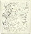 Carta del Departamento de Boyacá.jpg 5,608 × 6,085; 12.06 MB
-
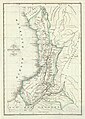
 Carta del Departamento de Cundinamarca.jpg 3,598 × 7,126; 6.97 MB
-
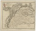
 Carta del Departamento del Cauca.jpg 4,361 × 6,129; 7.25 MB
-
 Carta del Departamento del Magdalena.jpg 4,723 × 5,167; 7.42 MB
-
 Colombia - btv1b84411885.jpg 5,016 × 3,921; 2.74 MB
-
-

-

-

-


_LOC_2004632061.jpg)

