Category:1886 Sanborn Fire Insurance Map from Eureka, Humboldt County, California
Jump to navigation
Jump to search
Media in category "1886 Sanborn Fire Insurance Map from Eureka, Humboldt County, California"
The following 12 files are in this category, out of 12 total.
-

-
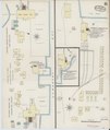
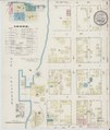 Sanborn Fire Insurance Map from Eureka, Humboldt County, California. LOC sanborn00533 001-1.tif 6,450 × 7,650; 141.17 MB
-

-
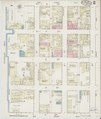 Sanborn Fire Insurance Map from Eureka, Humboldt County, California. LOC sanborn00533 001-2.tif 6,450 × 7,650; 141.17 MB
-

-
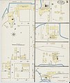
 Sanborn Fire Insurance Map from Eureka, Humboldt County, California. LOC sanborn00533 001-3.tif 6,450 × 7,650; 141.17 MB
-

-
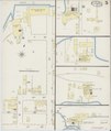
 Sanborn Fire Insurance Map from Eureka, Humboldt County, California. LOC sanborn00533 001-4.tif 6,450 × 7,650; 141.17 MB
-
-
 Sanborn Fire Insurance Map from Eureka, Humboldt County, California. LOC sanborn00533 001-5.tif 6,450 × 7,650; 141.17 MB
-

-
 Sanborn Fire Insurance Map from Eureka, Humboldt County, California. LOC sanborn00533 001-6.tif 6,450 × 7,650; 141.17 MB


