Category:18th-century maps of Bremen
Jump to navigation
Jump to search
Media in category "18th-century maps of Bremen"
The following 10 files are in this category, out of 10 total.
-
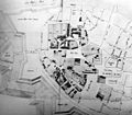 Bremer Dombezirk - Johann Christian Dankwerth - 1750.jpg 1,447 × 1,262; 1.08 MB
-
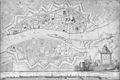
 Brema Seutter 1755.jpg 1,362 × 1,169; 2.1 MB
-
 Bremen 1757.jpg 824 × 500; 86 KB
-
 Bremen mit Vorstaedten 1757 Heinbach.jpg 3,656 × 2,205; 8.4 MB
-
 Bremen 1796 Murtfeldt.jpg 5,481 × 3,640; 16.82 MB
-
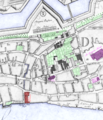 Bremen 1796 Neues Kornhaus, Alte Jacobikirche, Ansgarii Kirche, Nicolai Witwenhs.png 1,154 × 1,343; 1.82 MB
-
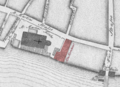 Bremen 1796 Plan - Altes Kornhaus.png 886 × 640; 562 KB
-
 Bremen mit Vorstædten 1772 1795.png 5,277 × 3,681; 11.17 MB
-
 Bremen ULF Gräberplan 1765.png 837 × 1,037; 986 KB
-
 Reichsstadt Bremen Territorium - F.A. Schrämbl, 1797.png 1,920 × 1,079; 3.78 MB


