Category:1926 maps of Lithuania
Jump to navigation
Jump to search
Media in category "1926 maps of Lithuania"
The following 2 files are in this category, out of 2 total.
-
 Insel Ostpreußen 1926.JPG 3,321 × 2,043; 3.73 MB
-
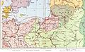
 Map of Lithuania, 1918–1926.jpg 7,017 × 6,442; 4.27 MB

