Category:2012 United States election maps by state
Jump to navigation
Jump to search
Subcategories
This category has the following 8 subcategories, out of 8 total.
Media in category "2012 United States election maps by state"
The following 2 files are in this category, out of 2 total.
-
 2012 US presidential election in Florida by State Senate districts.svg 800 × 804; 2.04 MB
-
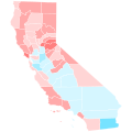 California counties trend 2008-2012.svg 810 × 810; 51 KB

