Category:20th-century maps of Aisne
Jump to navigation
Jump to search
Media in category "20th-century maps of Aisne"
The following 12 files are in this category, out of 12 total.
-
 Maissemy, WW1 map.tif 13,569 × 11,787; 457.65 MB
-
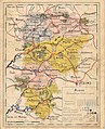 Carte du Département de l'Aisne.jpg 4,146 × 5,106; 4.22 MB
-
 Carte du Département de l'Aisne2.jpg 4,146 × 5,118; 3.26 MB
-
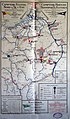
 Carte du tramway de Tergnier à Anizy 1916.jpg 871 × 823; 506 KB
-
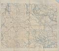
 Chemin des Dames en 1912-1913-carte d'Etat-major-est.jpg 3,439 × 2,251; 3.52 MB
-
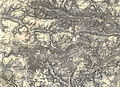
 Chemin des Dames en 1912-1913-carte d'Etat-major-ouest.jpg 3,192 × 2,456; 3.32 MB
-
 Historique du 3e régiment d'infanterie bpt6k6344565b 65 - Aisne, sept 1918.jpg 1,552 × 961; 332 KB
-
 Laon-FR-02-carte de 1911-A.jpg 2,426 × 3,179; 4.41 MB
-
 Navirhin 1202854.JPG 2,206 × 3,756; 1.93 MB
-
 Sissonne-FR-02-camp militaire en 1912-carte d'état-major..jpg 2,826 × 2,052; 2.59 MB
-
 Sissonne-FR-02-Jeoffrécourt en 1912-localisation.jpg 2,058 × 1,495; 1.65 MB
-
 Villers-Cotterêts-FR-02-carte 1912.jpg 3,474 × 2,516; 5.08 MB


