Category:Biogeographical maps of Cameroon
Jump to navigation
Jump to search
Countries of Africa: Angola · Botswana · Burundi · Cameroon · Democratic Republic of the Congo · Ethiopia · Kenya · Madagascar · Mozambique · Namibia · Rwanda · Somalia · South Africa · South Sudan · Sudan · Tanzania · Uganda
Media in category "Biogeographical maps of Cameroon"
The following 10 files are in this category, out of 10 total.
-
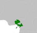
 AT0102 map.png 650 × 836; 24 KB
-
 AT0103 map.png 915 × 827; 27 KB
-
 AT0107 map.png 895 × 813; 25 KB
-
 AT0710 map.png 939 × 844; 25 KB
-
 AT0904 map.png 932 × 844; 30 KB
-
 AT1401 map.png 824 × 805; 24 KB
-
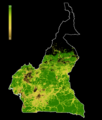 FLII Cameroon.png 750 × 879; 456 KB
-
 AT0705 map.png 1,336 × 844; 54 KB
-
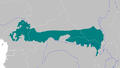 AT0712 map.png 1,355 × 764; 46 KB
-
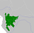 Northwestern Congolese lowland forests map.png 872 × 826; 33 KB


