Category:Boundary Street Recreation Ground
Jump to navigation
Jump to search
| Object location | | View all coordinates using: OpenStreetMap |
|---|
中文:界限街遊樂場
| Upload media | |||||
| Instance of | |||||
|---|---|---|---|---|---|
| Location | |||||
 | |||||
Media in category "Boundary Street Recreation Ground"
The following 9 files are in this category, out of 9 total.
-
 Boundary Street 2016 01.jpg 2,560 × 1,536; 1.4 MB
-
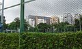 Boundary Street Recreation Ground 1.jpg 2,560 × 1,536; 2.5 MB
-
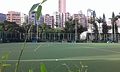 Boundary Street Recreation Ground 2.jpg 2,560 × 1,536; 1.53 MB
-
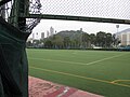
 Boundary Street Recreation Ground 3.jpg 2,560 × 1,536; 1.82 MB
-
 Flower Market Path 04.jpg 4,608 × 3,456; 3.76 MB
-
 Flower Market Path 05.jpg 4,608 × 3,456; 3.73 MB
-
 HK Kln 九龍 Kowloon 界限街 Boundary Street night January 2020 SS2 09.jpg 4,128 × 3,096; 3.38 MB
-
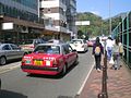 HK Sai Yee Street Taxi Sunny day.JPG 1,600 × 1,200; 1.13 MB
-
 Mong Kok Stadium 201504.jpg 2,112 × 1,408; 3.54 MB


