Category:Burnfoot Muir
Jump to navigation
Jump to search
Media in category "Burnfoot Muir"
The following 5 files are in this category, out of 5 total.
-
 Black Plantation on Burnfoot moor - geograph.org.uk - 252131.jpg 640 × 480; 78 KB
-
 Forest track at Shaw Knowe - geograph.org.uk - 252132.jpg 640 × 480; 102 KB
-
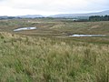 Former opencast coal site - geograph.org.uk - 250809.jpg 640 × 480; 80 KB
-
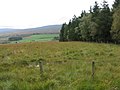
 Long Stone of Convention - geograph.org.uk - 250810.jpg 640 × 480; 121 KB
-
 Upper Hall ruin - geograph.org.uk - 250812.jpg 640 × 480; 95 KB


