Category:Lengenfeld (Oberostendorf)
Jump to navigation
Jump to search
village in the municipality of Oberostendorf, Germany  | |||||
| Upload media | |||||
| Instance of |
| ||||
|---|---|---|---|---|---|
| Location | Oberostendorf, Ostallgäu, Swabia, Bavaria, Germany | ||||
| Elevation above sea level |
| ||||
 | |||||
Subcategories
This category has only the following subcategory.
Media in category "Lengenfeld (Oberostendorf)"
The following 5 files are in this category, out of 5 total.
-
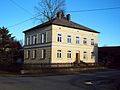 Haus lengenfeld oberostendorf.jpg 2,848 × 2,136; 1.58 MB
-
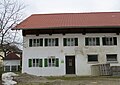 Oberostendorf - Lengenfeld - ehem Nr 35 sw OR v W.JPG 3,883 × 2,738; 1.31 MB
-
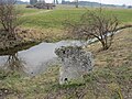 Oberostendorf - Lengenfeld südl - Steinkreuz v W.JPG 4,000 × 3,000; 2.51 MB
-
 Oberostendorf - Lengenfeld v S.JPG 2,207 × 1,627; 607 KB
-
 Ortsansicht lengenfeld oberostendorf.jpg 2,780 × 1,135; 399 KB


