Category:Locator maps of arrondissements of Maine-et-Loire to 2016
Jump to navigation
Jump to search
Media in category "Locator maps of arrondissements of Maine-et-Loire to 2016"
The following 6 files are in this category, out of 6 total.
-
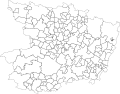
 Angers (Arrondissement) Plan.svg 601 × 471; 116 KB
-
 Maine-et-Loire administrative map-blank.svg 1,197 × 936; 6.12 MB
-
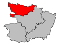
 Map arrondissement code 491.svg 538 × 421; 7 KB
-
 Map arrondissement code 492.svg 538 × 421; 7 KB
-
 Map arrondissement code 493.svg 538 × 421; 7 KB
-
 Map arrondissement code 494.svg 538 × 421; 7 KB
_Plan.svg)


