Category:Locator maps of former municipalities in Landkreis Görlitz
Jump to navigation
Jump to search
Media in category "Locator maps of former municipalities in Landkreis Görlitz"
The following 11 files are in this category, out of 11 total.
-
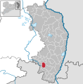
 Berthelsdorf in GR.svg 1,908 × 1,938; 287 KB
-
 Ebersbach Sa. in GR.svg 1,908 × 1,938; 1.38 MB
-
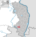
 Eibau in GR.svg 1,908 × 1,938; 287 KB
-
 Großhennersdorf in GR.svg 1,908 × 1,938; 1.38 MB
-
 Neugersdorf in GR.svg 1,908 × 1,938; 1.38 MB
-
 Niedercunnersdorf in GR.svg 1,908 × 1,938; 287 KB
-
 Obercunnersdorf in GR.svg 1,908 × 1,938; 287 KB
-
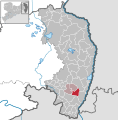
 Sohland a. Rotstein in GR.svg 1,908 × 1,938; 284 KB
-
 Strahwalde in GR.svg 1,908 × 1,938; 1.38 MB
-
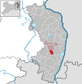
 VG Herrnhut in GR.svg 1,908 × 1,938; 287 KB
-
 VG Obercunnersdorf in GR.svg 1,908 × 1,938; 287 KB


