Category:Locator maps of wards in Conwy County Borough
Jump to navigation
Jump to search
Media in category "Locator maps of wards in Conwy County Borough"
The following 10 files are in this category, out of 10 total.
-
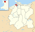
 Conwy County Borough UK electoral wards - Betws-y-Coed locator.png 800 × 740; 92 KB
-
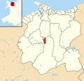
 Conwy County Borough UK electoral wards - Conwy ward locator.png 800 × 740; 92 KB
-
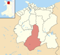
 Conwy County Borough UK electoral wards - Crwst locator.png 765 × 740; 91 KB
-
 Conwy County Borough UK electoral wards - Gele ward locator.png 800 × 740; 92 KB
-
 Conwy County Borough UK electoral wards - Gower locator.png 765 × 740; 91 KB
-

-
 Conwy County Borough UK electoral wards - Marl locator.png 765 × 740; 91 KB
-
 Conwy County Borough UK electoral wards - Uwch Conwy locator.png 800 × 740; 92 KB
-
 Conwy County Borough UK electoral wards - Uwchaled locator.png 800 × 740; 92 KB
-
 Electoral wards in the town of Llandudno, North Wales.png 720 × 610; 54 KB


