Category:Maps by John Bartholomew
Jump to navigation
Jump to search
Subcategories
This category has only the following subcategory.
B
- Black's Atlas of North America (27 F)
Media in category "Maps by John Bartholomew"
The following 22 files are in this category, out of 22 total.
-
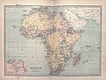 Bartholomew Africa 1875 UTA.jpg 3,669 × 2,784; 2.97 MB
-
 Bathy-orographical map of the world.jpg 2,428 × 1,606; 1.23 MB
-
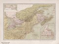 Dominion of Canada & northern United States, by John Bartholomew. (IA bp 32618).pdf 2,733 × 2,043; 2.39 MB
-
 Early voyagers, 1492.jpg 1,902 × 1,466; 1.03 MB
-
 Karachi map 1911.jpg 1,811 × 1,376; 260 KB
-
 Land surface features and ocean currents, 1890.jpg 4,354 × 3,224; 2.02 MB
-
 Map from Isle of Wight (1908) John Bartholomew & Co..jpg 7,544 × 5,134; 10.7 MB
-
 Near East 1879 Atlas Map by John Bartholomew (cropped).jpeg 6,430 × 5,622; 6.97 MB
-
 Ocean currents and land features, 1887.jpg 3,094 × 2,274; 840 KB
-
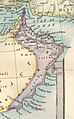 Oman 1879 map (cropped from original atlas page).jpg 1,949 × 3,132; 1.08 MB
-

-
 The Old World - Early explorers.jpg 1,649 × 1,366; 1.3 MB
-
 The Orient, 1958.jpg 5,545 × 4,181; 3.63 MB
-
 The Slave Coast on a John Bartholomew & Co. map published c. 1914 (part).jpg 1,541 × 946; 780 KB
-
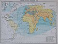
 The World on Sir John Herschel's Projection, 1871.jpg 4,109 × 2,966; 3.26 MB
-
 Turkey in Asia 1871 by John Bartholomew.jpg 7,466 × 10,579; 14.29 MB
-

-

-
 Turkey in Asia, Persia, Arabia, Egypt and Nile Countries 1879 Atlas map by John Bartholomew.jpg 10,077 × 13,751; 23.5 MB
-
 West Africa in a John Bartholomew & Co. map published c. 1914.jpg 1,864 × 1,193; 958 KB
-
 World air routes, 1958.jpg 5,545 × 4,181; 3.21 MB
-
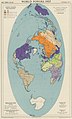 World powers, 1957.jpg 1,103 × 1,823; 300 KB


_John_Bartholomew_%26_Co..jpg)
.jpeg)

.jpg)


.jpg)


.jpg)


