Category:Maps of Bantanges - municipality limit maps
Jump to navigation
Jump to search
Media in category "Maps of Bantanges - municipality limit maps"
The following 5 files are in this category, out of 5 total.
-
 Bantanges Gemeindeschema OSM.xcf 967 × 701; 698 KB
-
 Bantanges Gemeindeschema.png 967 × 730; 393 KB
-
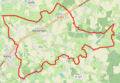 Bantanges OSM 01.png 480 × 333; 188 KB
-
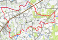 Bantanges OSM 02.png 480 × 333; 281 KB
-
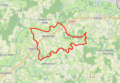 Bantanges OSM 03.png 480 × 333; 250 KB


