Category:Maps of Federally Administered Tribal Areas
Jump to navigation
Jump to search
Wikimedia category | |||||
| Upload media | |||||
| Instance of | |||||
|---|---|---|---|---|---|
| Category combines topics | |||||
| Federally Administered Tribal Areas | |||||
former semi-autonomous tribal region in northwestern Pakistan (1947–2018)    .svg) .jpg) | |||||
| Instance of | |||||
| Location | Pakistan | ||||
| Inception |
| ||||
| Dissolved, abolished or demolished date |
| ||||
| Population |
| ||||
| Area |
| ||||
| Replaced by | |||||
| official website | |||||
 | |||||
Subcategories
This category has the following 3 subcategories, out of 3 total.
D
W
- Maps of Waziristan (12 F)
Pages in category "Maps of Federally Administered Tribal Areas"
This category contains only the following page.
Media in category "Maps of Federally Administered Tribal Areas"
The following 17 files are in this category, out of 17 total.
-
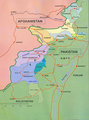
 Afghanistan Pakistan central border 2008.jpg 3,242 × 3,766; 2.82 MB
-
 BlankMap-FATA(Pak)2.92.png 397 × 730; 15 KB
-
 FATA (8).jpg 450 × 605; 86 KB
-
 FATA (8).png 450 × 605; 800 KB
-
 Federally Administered Tribal Areas in Pakistan (claims hatched).svg 2,365 × 1,890; 1.16 MB
-
 Federally Administered Tribal Areas in Pakistan.svg 2,365 × 1,890; 1.16 MB
-
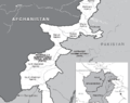
 GAO-USAID Map of Pakistan and Afghanistan.PNG 871 × 543; 105 KB
-
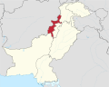
 Locator map FATA.svg 661 × 1,067; 24 KB
-
 Map of FATA in Pakistan.PNG 976 × 772; 138 KB
-
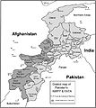
 Map showing NWFP and FATA.png 800 × 896; 218 KB
-
 NWFP and FATA.jpg 6,325 × 7,085; 1.96 MB
-
 NWFP and FATA.png 425 × 500; 467 KB
-
 NWFP FATA.svg 1,000 × 1,075; 171 KB
-
 Pakistan KPK FATA areas with localisation map.svg 1,000 × 1,075; 243 KB
-
 Pakistan NWFP FATA areas with localisation map de.svg 1,015 × 1,123; 141 KB
-
 PakistanTribal.png 200 × 189; 12 KB
-
 Provincially Administered Tribal Areas-1.png 451 × 585; 23 KB

.png)


2.92.png)