Category:Maps of Huntingdonshire
Jump to navigation
Jump to search
Wikimedia category | |||||
| Upload media | |||||
| Instance of | |||||
|---|---|---|---|---|---|
| Category combines topics | |||||
| Huntingdonshire | |||||
district of Cambridgeshire, England, United Kingdom   | |||||
| Instance of | |||||
| Location | Cambridgeshire, East of England, England | ||||
| Capital | |||||
| Legislative body |
| ||||
| Inception |
| ||||
| Population |
| ||||
| Area |
| ||||
| Different from | |||||
| official website | |||||
 | |||||
Subcategories
This category has the following 4 subcategories, out of 4 total.
Media in category "Maps of Huntingdonshire"
The following 31 files are in this category, out of 31 total.
-
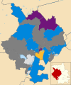
 2022 Huntingdonshire District Council results.svg 889 × 920; 931 KB
-
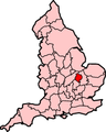
 CambridgeshireHuntingdonshire.png 200 × 234; 14 KB
-
 Doomsday Book - 1086 - English Counties - Circuit (Huntingdonshire).png 502 × 462; 201 KB
-
 EnglandHuntingdonshireTrad.png 200 × 250; 25 KB
-
 Huntingdonshire Hundreds.svg 1,001 × 1,307; 168 KB
-
 Huntingdon RD 1935.png 1,226 × 1,518; 45 KB
-
 Huntingdonensis comitatus Huntington Shire - CBT 6596982.jpg 5,704 × 4,577; 7.3 MB
-
 Huntingdonshire - British Isles.svg 1,260 × 1,835; 943 KB
-
 Huntingdonshire Brit Isles Sect 5.svg 809 × 743; 939 KB
-
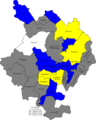
 Huntingdonshire District Ward Map 2018.svg 558 × 698; 310 KB
-
 Huntingdonshire Towns and Villages.svg 1,052 × 1,488; 187 KB
-
 Huntingdonshire UK local election 2002 map.png 513 × 640; 63 KB
-
 Huntingdonshire UK local election 2003 map.png 513 × 640; 62 KB
-
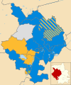 Huntingdonshire UK local election 2004 map.svg 1,055 × 1,266; 574 KB
-
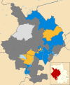
 Huntingdonshire UK local election 2006 map.svg 1,055 × 1,266; 573 KB
-
 Huntingdonshire UK local election 2007 map.svg 1,055 × 1,266; 573 KB
-
 Huntingdonshire UK local election 2008 map.svg 1,055 × 1,266; 573 KB
-
 Huntingdonshire UK local election 2010 map.svg 1,055 × 1,266; 573 KB
-
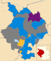
 Huntingdonshire UK local election 2011 map.svg 1,055 × 1,266; 573 KB
-
 Huntingdonshire UK local election 2012 map.svg 1,055 × 1,266; 573 KB
-
 Huntingdonshire UK local election 2014 map.svg 1,055 × 1,266; 573 KB
-
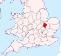
 Huntingdonshire UK locator map.svg 1,125 × 1,266; 894 KB
-
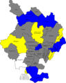
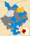
 Huntingdonshire UK political composition map.svg 1,055 × 1,266; 576 KB
-
 Huntingdonshire UK ward map 2010 (blank).svg 1,055 × 1,266; 573 KB
-
 Huntingdonshire1889.png 200 × 254; 73 KB
-
 HuntingdonshireBrit5.PNG 625 × 569; 26 KB
-
 Norman Cross RD 1935.png 1,226 × 1,518; 44 KB
-
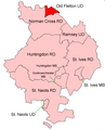 Old Fletton UD 1935.png 1,226 × 1,518; 44 KB
-
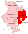 St Ives RD 1935.png 1,226 × 1,518; 45 KB
-
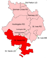 St Neots RD 1935.png 1,226 × 1,518; 44 KB
-
 The Fens England map.svg 1,740 × 1,585; 1.59 MB


.png)


.svg)