Category:Maps of Palestine in 8th century BC
Jump to navigation
Jump to search
Media in category "Maps of Palestine in 8th century BC"
The following 6 files are in this category, out of 6 total.
-
 Levant 800-es.svg 737 × 716; 209 KB
-
 Levant 800-fr.svg 737 × 716; 171 KB
-
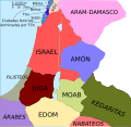
 Levant 800.jpg 537 × 517; 149 KB
-
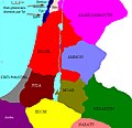
 Levant 800.png 545 × 525; 19 KB
-
 Levant 800.svg 737 × 716; 178 KB
-
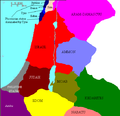
 Levante 800.jpg 617 × 599; 188 KB


