Category:Maps of Saint-Pierre-es-Champs
Jump to navigation
Jump to search
Wikimedia category | |||||
| Upload media | |||||
| Instance of | |||||
|---|---|---|---|---|---|
| Category combines topics | |||||
| Saint-Pierre-es-Champs | |||||
commune in Oise, France   | |||||
| Instance of | |||||
| Location |
| ||||
| Population |
| ||||
| Area |
| ||||
| Elevation above sea level |
| ||||
| official website | |||||
 | |||||
Subcategories
This category has only the following subcategory.
Media in category "Maps of Saint-Pierre-es-Champs"
The following 4 files are in this category, out of 4 total.
-
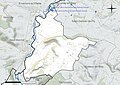 60592-Saint-Pierre-es-Champs-Hydro.jpeg 5,846 × 4,133; 1.94 MB
-
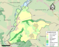 60592-Saint-Pierre-es-Champs-Sols.png 3,270 × 2,598; 1.67 MB
-
 Map commune FR insee code 60592.png 756 × 605; 50 KB
-
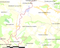
 Périmètre RNR Larris et tourbieres de Saint-Pierre-es-Champs rnr11.png 998 × 816; 355 KB


