Category:Maps of State Electoral Districts of the Tasmanian Legislative Council, 2017
Jump to navigation
Jump to search
Media in category "Maps of State Electoral Districts of the Tasmanian Legislative Council, 2017"
The following 22 files are in this category, out of 22 total.
-
 Locator map of Derwent TLC electorate 2017.svg 831 × 1,020; 188 KB
-
 Locator map of Elwick TLC electorate 2017 with inset.svg 831 × 1,020; 360 KB
-
 Locator map of Elwick TLC electorate 2017.svg 831 × 1,020; 178 KB
-
 Locator map of Hobart TLC electorate 2017 with inset.svg 831 × 1,020; 358 KB
-
 Locator map of Hobart TLC electorate 2017.svg 831 × 1,020; 178 KB
-
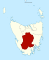
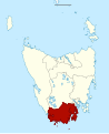 Locator map of Huon TLC electorate 2017.svg 831 × 1,020; 376 KB
-
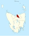
 Locator map of Latrobe TLC electorate 2017.svg 831 × 1,020; 189 KB
-
 Locator map of Launceston TLC electorate 2017 with inset.svg 831 × 1,020; 359 KB
-
 Locator map of Launceston TLC electorate 2017.svg 831 × 1,020; 180 KB
-
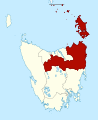 Locator map of McIntyre TLC electorate 2017.svg 831 × 1,020; 435 KB
-
 Locator map of Mersey TLC electorate 2017.svg 831 × 1,020; 189 KB
-
 Locator map of Montgomery TLC electorate 2017.svg 831 × 1,020; 185 KB
-
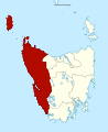 Locator map of Murchison TLC electorate 2017.svg 831 × 1,020; 355 KB
-
 Locator map of Nelson TLC electorate 2017 with inset.svg 831 × 1,020; 359 KB
-
 Locator map of Nelson TLC electorate 2017.svg 831 × 1,020; 179 KB
-
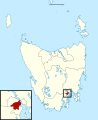
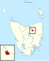
 Locator map of Pembroke TLC electorate 2017 with inset.svg 831 × 1,020; 359 KB
-
 Locator map of Pembroke TLC electorate 2017.svg 831 × 1,020; 179 KB
-
 Locator map of Prosser TLC electorate 2017.svg 831 × 1,020; 276 KB
-
 Locator map of Rosevears TLC electorate 2017.svg 831 × 1,020; 182 KB
-
 Locator map of Rumney TLC electorate 2017.svg 831 × 1,020; 193 KB
-
 Locator map of Windermere TLC electorate 2017.svg 831 × 1,020; 184 KB
-
 Map of Tasmanian Legislative Council electoral divisions.svg 831 × 1,020; 177 KB


